Nº 28 · Catalina Island place
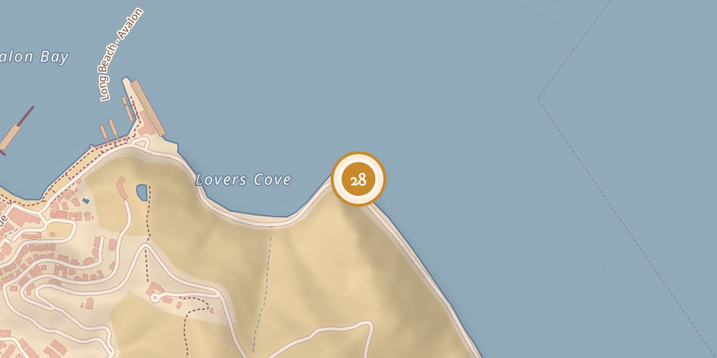
Abalone Point
| Later | A rock quarry operated at Abalone Point by 1918. |
|---|---|
| Location | 33.3434° N · 118.3170° W |
History
Abalone Point was a small cape at the southern end of Lovers Cove, about 600 yards east of Avalon Bay, separating the bay from Pebbly Beach. In July 1905, construction began on an incline railway planned to connect Avalon and Pebbly Beach by crossing the point.
A rock quarry was operating at Abalone Point in 1918. The quarry closed the surf-line road to Pebbly Beach, so the old road over the mountain ridges was repaired and reopened.
Chronology
- July 13, 1905Construction began on an incline railway planned to connect Avalon and Pebbly Beach across Abalone Point.
- February 12, 1918A rock quarry was operating at Abalone Point.
- March 19, 1918The quarry had closed the surf-line road; the old roadway over the mountain ridges was repaired and reopened.
Sources
Every source for this place is numbered on the Sources page, with original records listed first.