Nº 29 · Catalina Island place
Airport Loop Trail
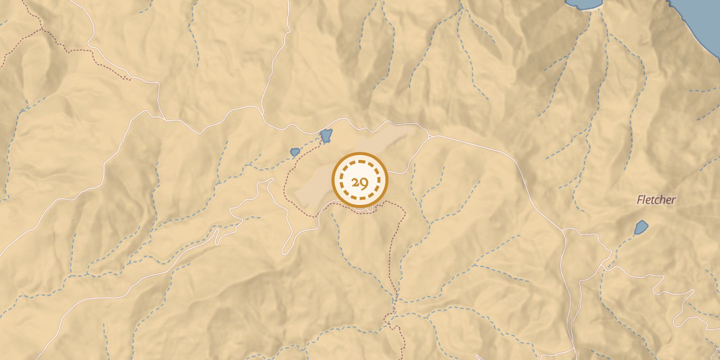
| First use | Interpretive hiking trail |
|---|---|
| Later | Hiking, mountain biking, and running |
| Today | A loop around Airport in the Sky, beginning at the airport terminal, with views of Black Jack Mountain and Mount Orizaba. It is listed as open year-round; dogs are allowed on leash. |
| Location | 33.4038° N · 118.4150° W (approximate) |
History
The Airport Loop Trail was an interpretive hiking route around Airport in the Sky. It began at the airport terminal and offered views of Black Jack Mountain and Mount Orizaba.
Published descriptions gave different lengths: 2.3 miles, about 2 miles, 3.0 miles, and 4.5 kilometers. The trail was also listed for mountain biking and running.
Notes
- The loop starts at the airport terminal.
Sources
Every source for this place is numbered on the Sources page, with original records listed first.