Nº 14 · Site
Airport in the Sky
1941
| Founded or built | 1941; the airport was commissioned in 1940 and opened for public use in 1946. |
|---|---|
| Built by | Philip K. Wrigley and others; another account names William Wrigley. |
| First use | Private airport, originally called Buffalo Springs Airport. |
| Later | Military airfield during World War II; public-use airport from 1946, with scheduled passenger service at various times. |
| Today | A general aviation airport owned and operated by the Catalina Island Conservancy; it has no scheduled passenger service. |
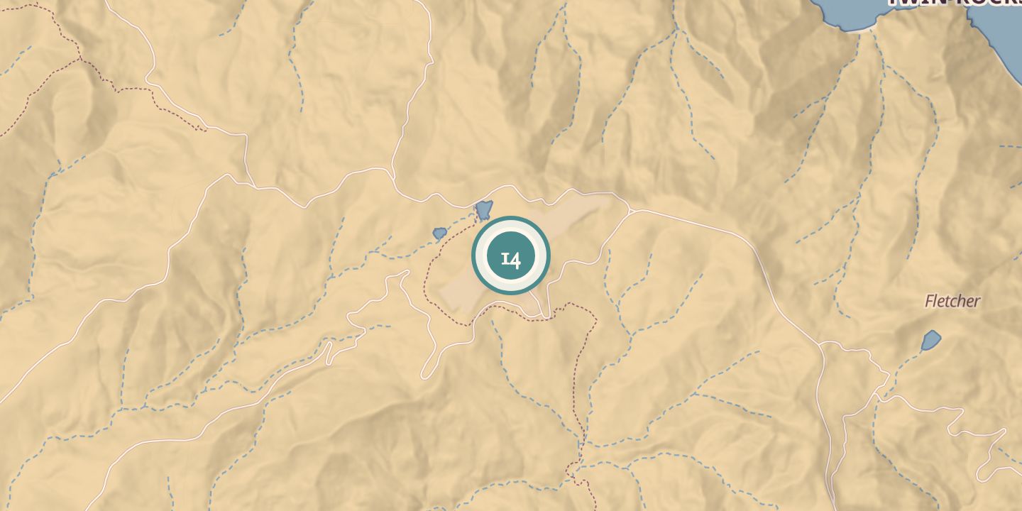
| Location | 33.4047° N · 118.4163° W |
History
The Wrigley family commissioned an airport in Catalina’s interior in 1940. Accounts differ on its construction and opening: one says it opened as a private airport in spring 1941, while another describes runway construction beginning in 1940. It was first called Buffalo Springs Airport.
The runway was made by leveling two hilltops and filling the intervening canyon. The United States Army Air Forces took control in autumn 1942, and the airfield supported military and Office of Strategic Services activities during World War II. After the war, it opened to the public in 1946 as Catalina Airport.
United Airlines and other carriers provided scheduled service at different times, including DC-3 flights. The Catalina Island Conservancy took responsibility for the airport in 1972. In 2019, Marines repaired the runway as a training exercise, and it reopened on May 3; the Conservancy owns and manages the airport today.
Chronology
- 1940The Wrigley family commissioned the airport.
- 1941Buffalo Springs Airport opened as a private airport.
- 1942The USAAF took control for the duration of World War II.
- 1946The field opened for public use as Catalina Airport.
- 1972The Catalina Island Conservancy took ownership and responsibility for operations.
- 2019Marines repaired the runway; the airport reopened on May 3.
Notes
- In the island's interior, roughly ten miles from Avalon by road.
Sources
Every source for this place is numbered on the Sources page, with original records listed first.