Nº 31 · Catalina Island place
Arrow Point
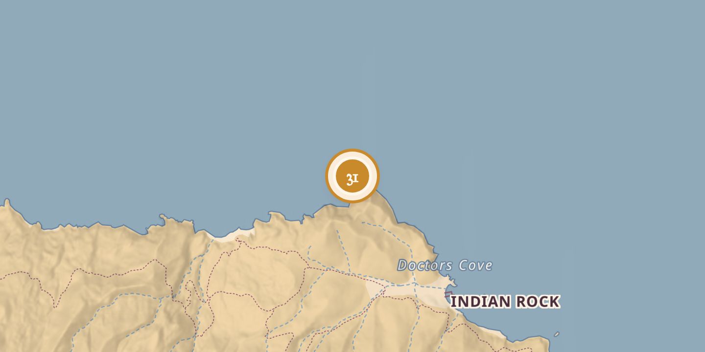
| Location | 33.4775° N · 118.5393° W |
|---|
History
Arrow Point lies on Santa Catalina Island’s north shore, west of Isthmus Cove and about one nautical mile west of Emerald Bay. The Spanish galleon San Pedro, captained by Don Mercurio de Salcedo, sank nearby in stormy seas on June 4, 1598.
The point appeared on an 1893 topographical map and on a map published in The Islander on August 1, 1916. It was cited in 1926 in a proposed Catalina Channel swim route and was named as the finish point for a yacht race described in 1972.
Chronology
- June 4, 1598The Spanish galleon San Pedro sank near Arrow Point.
- 1893Arrow Point appeared on a topographical map of Santa Catalina Island.
- August 1, 1916Arrow Point appeared on a map in The Islander.
- September 12, 1926Arrow Point was mentioned in a proposed Catalina Channel swim route.
- September 29, 1972Arrow Point was named as the finish point for a yacht race.
Sources
Every source for this place is numbered on the Sources page, with original records listed first.