Nº 33 · Catalina Island place
Ballast Point
| Later | Movie sets were built at the point in the 1920s and 1930s. |
|---|---|
| Today | The point is accessible by road. |
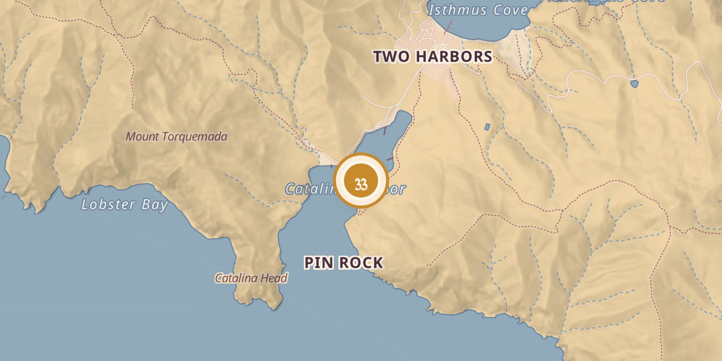
| Address | Isthmus Point Road leads to Ballast Point; it is also accessible by Ballast Point Road. |
| Location | 33.4311° N · 118.5054° W |
History
Ballast Point lay on the east side of the entrance to Catalina Harbor, at the island’s isthmus. It was said to be the island’s oldest man-made structure, formed from ballast stones left by treasure galleons that anchored at Cat Harbor before raiding the mainland.
The 1753 Chinese smuggling ship Ning Po was reported wrecked off Ballast Point; the wreck was described as being on the west side of the island. Movie sets were built at the point in the 1920s and 1930s.
Chronology
- 1920s–1930sMovie sets were built at Ballast Point.
Sources
Every source for this place is numbered on the Sources page, with original records listed first.