Nº 39 · Catalina Island place
Binnacle Rock
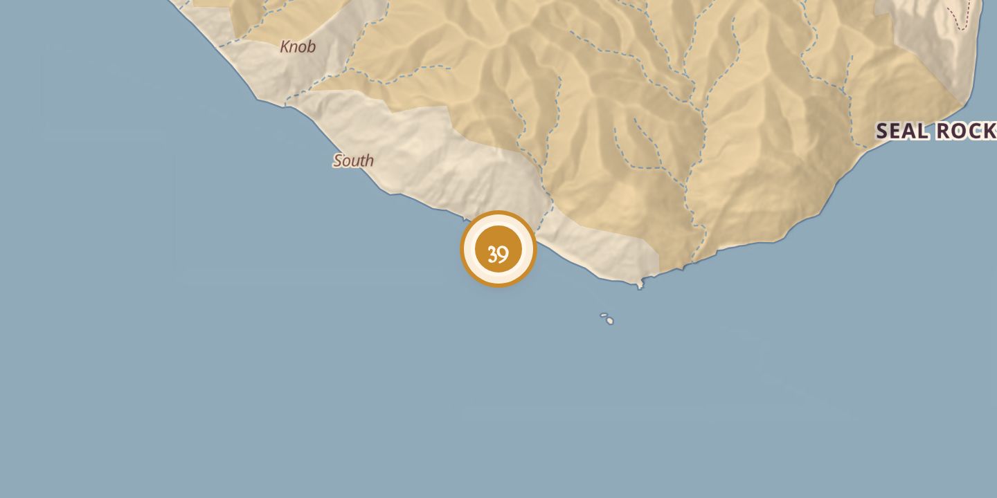
| Later | Listed as a follow-up dive from Church Rock. |
|---|---|
| Today | Binnacle Rock lies within the designated Santa Catalina Island—Subarea Four, from Binnacle Rock to Jewfish Point. |
| Location | 33.3009° N · 118.3343° W |
History
Binnacle Rock is offshore near the eastern end of Santa Catalina Island, beside Church Rock at the island’s southernmost point. It was included in the Santa Catalina Island—Subarea Four Area of Special Biological Significance, designated on March 21, 1974. The dive-site listing described it as south of Avalon and normally a follow-up dive from Church Rock.
Chronology
- 1974-03-21Santa Catalina Island—Subarea Four, extending from Binnacle Rock to Jewfish Point, was designated an Area of Special Biological Significance.
Sources
Every source for this place is numbered on the Sources page, with original records listed first.