Nº 41 · Catalina Island place
Black Point
| First use | Triangulation station, established by Stehman Forney in 1875. |
|---|---|
| Later | Scuba diving. |
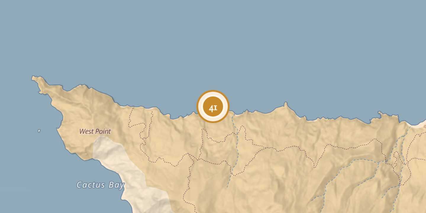
| Today | An isolated point on Santa Catalina Island’s northern side near the West End. Starlight Beach lies to the west and is an official endpoint of the Trans-Catalina Trail. The point is a rocky dive site with crevices, ledges, walls, and gorgonians; it drops to about 100 feet, with stated diving depths of 15–100 feet. |
| Location | 33.4753° N · 118.5801° W |
History
Stehman Forney established a triangulation station at Black Point in 1875.
Black Point later became a scuba-diving site. Its eastern area slopes toward a sandy bottom around 60 feet; the rocky point drops abruptly to about 100 feet.
Chronology
- 1875Stehman Forney established a triangulation station at Black Point.
Sources
Every source for this place is numbered on the Sources page, with original records listed first.