Nº 45 · Catalina Island place
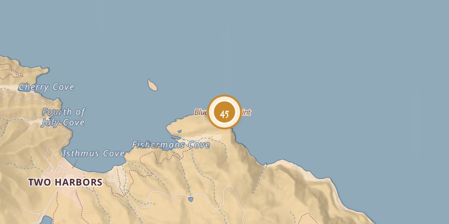
Blue Cavern Point
| Later | SCUBA diving and kayaking; marine research and conservation |
|---|---|
| Today | Its caves are visited by divers and kayakers. The surrounding marine area has been protected from fishing and specimen collection since 1988. |
| Location | 33.4481° N · 118.4773° W |
History
Blue Cavern Point, just east of the Isthmus on Santa Catalina Island, appeared on a map in The Islander dated August 1, 1916. A March 12, 1918 newspaper description noted the area's volcanic formations and caves.
In March 1968, Carl Jaeger and Janice Van Hoorebeke died of asphyxiation aboard a small cabin cruiser in the Blue Caverns area.
On November 29, 1981, Isthmus businessman Doug Bombard found Natalie Wood’s body near the point. At 7:52 A.M., he radioed that he had found her. The surrounding marine area has been protected from fishing and specimen collection since 1988. In 2015, researchers surveyed reefs around the point; their study documenting more than 1,000 kinds of marine life was published in March 2021.
Chronology
- 1916-08-01Blue Cavern Point appeared on a map in The Islander.
- 1918-03-12A newspaper described the volcanic formations and caves at Blue Cavern.
- 1968-03Carl Jaeger and Janice Van Hoorebeke died of asphyxiation aboard a small cabin cruiser in the Blue Caverns area.
- 1981-11-29Doug Bombard found Natalie Wood’s body near the point and radioed the discovery at 7:52 A.M.
- 1988The surrounding marine area began being protected from fishing and specimen collection.
- 2015Researchers surveyed intertidal reefs around the point.
- 2021-03A study documenting more than 1,000 kinds of marine life was published.
Sources
Every source for this place is numbered on the Sources page, with original records listed first.