Nº 50 · Catalina Island place
Cactus Bay
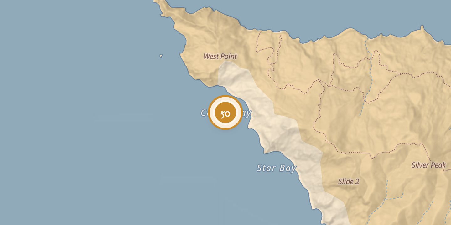
| Today | A boat-accessed reef dive site on Santa Catalina Island, with a stated depth range of 8–20 m. |
|---|---|
| Location | 33.4659° N · 118.5965° W |
History
Cactus Bay was marked on a map in The Islander dated August 1, 1916.
A later dive guide described the bay as a reef site with a protected eastern exposure, accessed by boat. The guide described a natural bowl-shaped dive route reaching about 20 m at its centre.
Chronology
- 1916Cactus Bay was shown on a map in The Islander dated August 1.
Sources
Every source for this place is numbered on the Sources page, with original records listed first.