Nº 51 · Catalina Island place
Cactus Peak
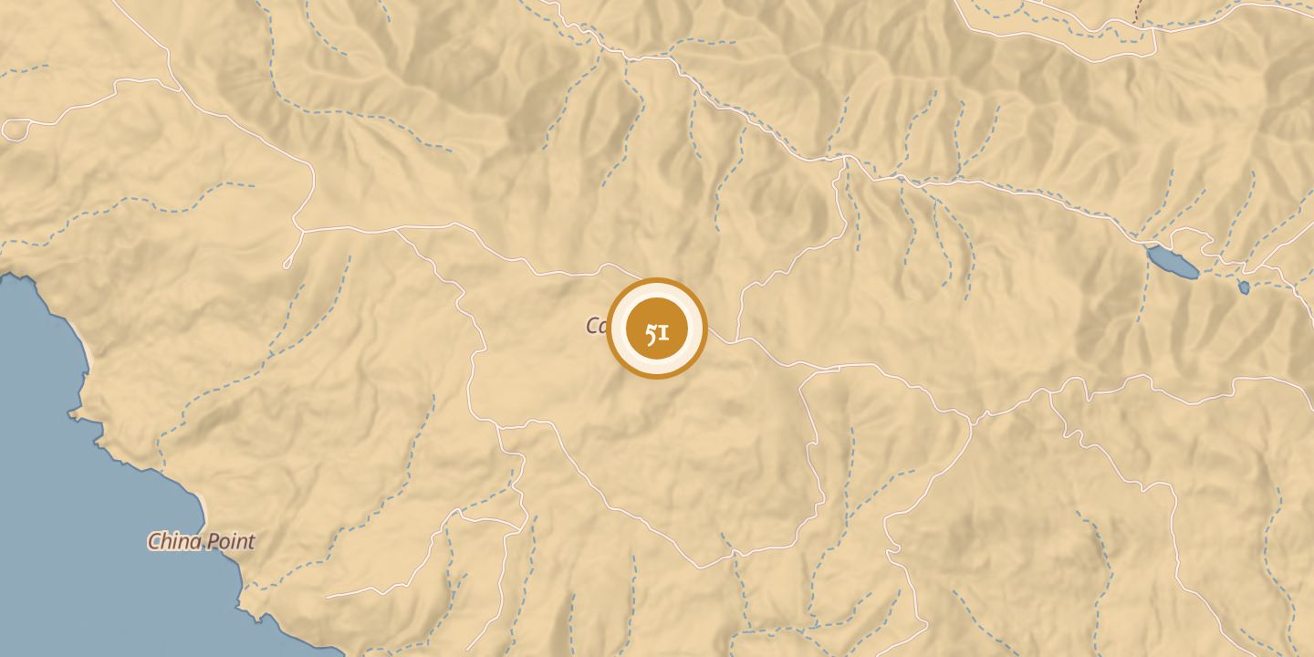
| First use | Survey station, recorded by Stehman Forney in 1876 |
|---|---|
| Later | Early-warning air-defense radar site at Camp Cactus, 1942–1945 |
| Location | 33.3371° N · 118.4457° W |
History
In 1876, Stehman Forney recorded a survey station on Cactus Peak, the highest peak on Santa Catalina Island. The station stood on a rocky ridge about three-quarters of a mile from shore, at an elevation of 1,560 feet; its center and nearby reference points were marked with metal bolts or rivets and wooden stakes.
From 1942 to 1945, Camp Cactus on the peak served as an early-warning air-defense radar site for the Outer Santa Barbara Channel.
Chronology
- 1876Stehman Forney recorded a survey station on Cactus Peak.
- 1942–1945Camp Cactus operated an early-warning air-defense radar site.
Sources
Every source for this place is numbered on the Sources page, with original records listed first.