Nº 52 · Catalina Island place
Camp Cactus
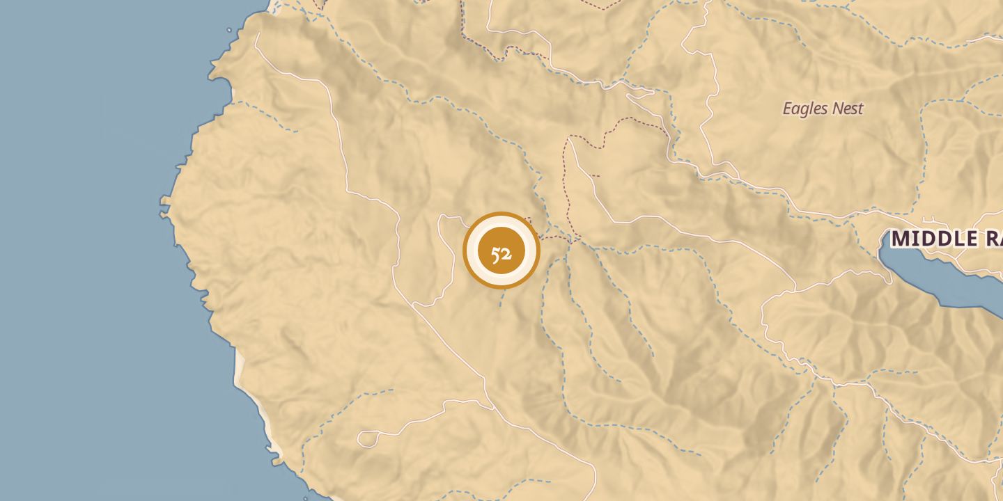
| First use | Secret U.S. Army Signal Corps radar facility for detecting Japanese ships and aircraft |
|---|---|
| Location | 33.3546° N · 118.4677° W |
History
During World War II, the U.S. Army Signal Corps operated Camp Cactus as a secret radar facility. It was set in a gully on Santa Catalina Island’s windward side, behind Mount Orizaba, and was accessible from Avalon by a 14-mile dirt road.
The radar site was intended to warn Fort MacArthur in San Pedro of a possible invasion, while anti-aircraft guns formed part of Southern California’s defense. Camp Cactus was listed as an early-warning radar station from 1942 to 1945.
Chronology
- 1942–1945Camp Cactus operated as an early-warning air-defense radar station.
Sources
Every source for this place is numbered on the Sources page, with original records listed first.