Nº 55 · Catalina Island place
Catalina Harbor
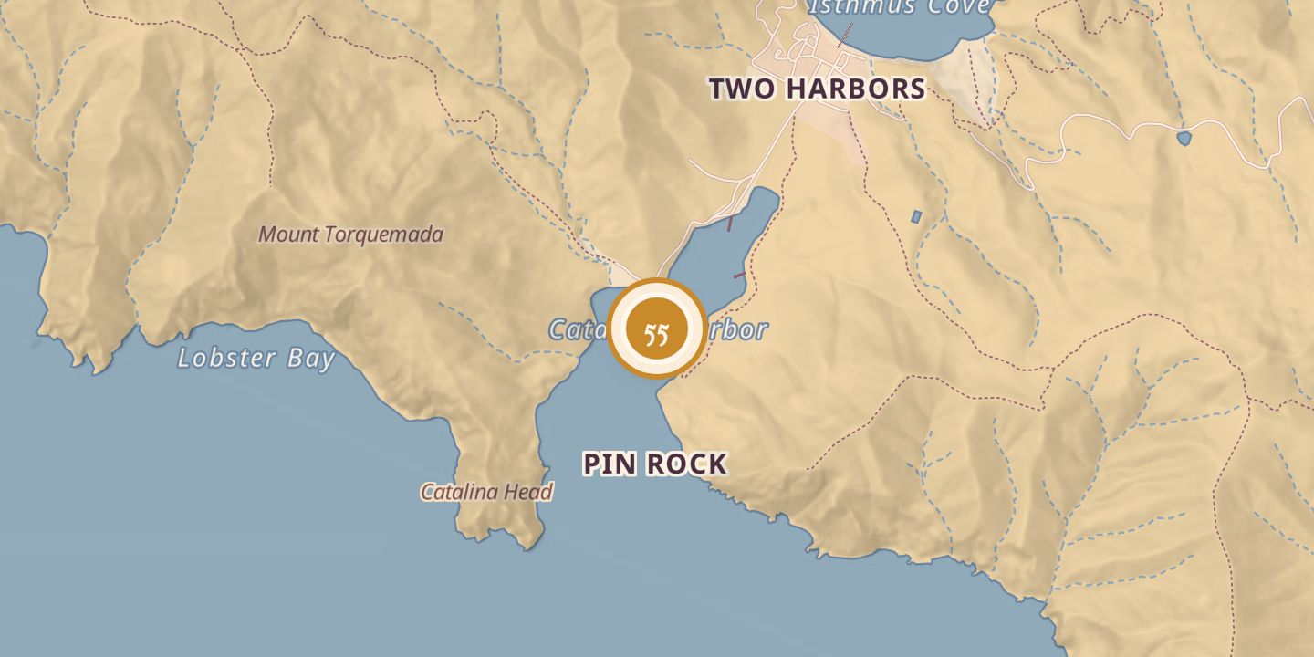
| Today | Santa Catalina Island’s most protected harbor, with 96 moorings and anchorage for more than 200. Ballast Point, a natural sand spit, extends across part of the entrance. |
|---|---|
| Location | 33.4306° N · 118.5068° W |
History
The U.S. Coast Survey charted Catalina Harbor in 1853. It was historically a place for smugglers, pirates, and bootleggers.
In 1864, barracks were built between Cat Harbor and Two Harbors to house Union soldiers; during World War II, the isthmus became a Coast Guard training center, and the barracks later stood as a historic landmark. Vessels abandoned or wrecked in the harbor included Intrepid and Charles F. Crocker (1926), Margaret C (1933), Palmyra (circa 1938), and a sardine-fishing boat (1948).
Chronology
- 1853The U.S. Coast Survey charted Catalina Harbor.
- 1864Barracks were built between Cat Harbor and Two Harbors to house Union soldiers.
- 1926Intrepid and Charles F. Crocker were wrecked or abandoned in the harbor.
- 1933Margaret C was wrecked or abandoned in the harbor.
- circa 1938Palmyra was wrecked or abandoned in the harbor.
- 1948A sardine-fishing boat was abandoned in the harbor.
- World War IIThe isthmus between the two harbors became a Coast Guard training center.
Sources
Every source for this place is numbered on the Sources page, with original records listed first.