Nº 57 · Catalina Island place
Cherry Valley
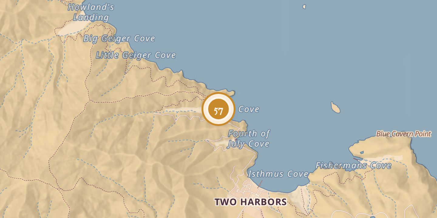
| Built by | The San Gabriel Valley Council (formerly the Pasadena Council) opened Camp Cherry Valley. |
|---|---|
| First use | Mining activity was reported in Cherry Valley. |
| Later | Boy Scout camp; World War II training site used by the Office of Strategic Services. |
| Today | Camp Cherry Valley was decommissioned in 2024 after a lease disagreement and reopened in 2026 with a restoration project by Pacific Treasure Foundation. |
| Location | 33.4510° N · 118.5037° W |
History
Cherry Valley appeared on an 1893 topographical map and on a map published in The Islander in 1916. It was named for the native Catalina cherry trees growing there. Mining was reported from 1862 to 1964, and a 1936 account described the valley as a center of mining claims and tunnels.
The Boy Scout camp was established in 1921 according to one history, while camp histories date its move to Cherry Valley and official founding to 1923. The San Gabriel Valley Council, formerly the Pasadena Council, opened and operated the camp. It became a long-running place for Scout activities.
During World War II, the Office of Strategic Services used Cherry Valley for training in amphibious operations. The OSS first leased Cherry Valley Cove on December 10, 1943, and included it in a broader lease signed in 1945. The camp was decommissioned in 2024 after a lease disagreement and reopened in 2026 through a restoration project.
Chronology
- 1862Mining activity was reported as beginning in the area.
- 1893Cherry Valley appeared on a topographical map of Santa Catalina Island.
- 1916Cherry Valley appeared on a map in The Islander.
- 1921One history dated the establishment of the Boy Scout camp to this year.
- 1923Camp histories dated the move to Cherry Valley and the camp’s official founding to this year.
- 1943On December 10, the OSS leased Cherry Valley Cove.
- 1945The OSS included Cherry Valley Cove in a broader lease signed April 1 and terminated the lease effective September 30.
- 2024Camp Cherry Valley was decommissioned after a lease disagreement.
- 2026The camp reopened with a restoration project by Pacific Treasure Foundation.
Sources
Every source for this place is numbered on the Sources page, with original records listed first.