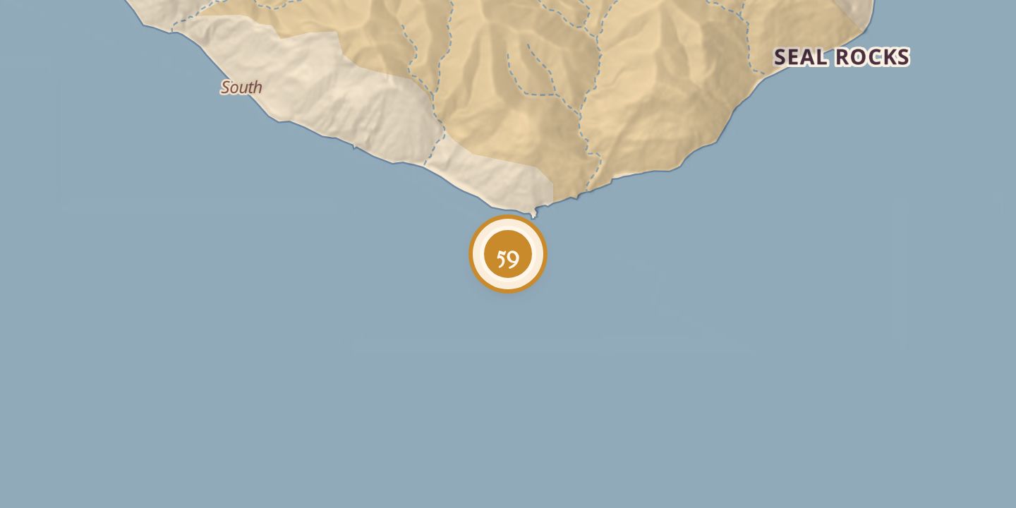
Nº 59 · Catalina Island place
Church Rock
| First use | Fishing was reported near Church Rock by 1894. |
|---|---|
| Later | It was a popular fishing spot and later a diving spot. |
| Today | A popular diving spot. |
| Location | 33.2970° N · 118.3270° W |
History
Church Rock lay off the southeastern part of Santa Catalina Island’s East End and appeared on an 1893 topographical map. Fishing near the rock was reported in 1894, and a fishing barge was anchored nearby in 1895.
In January 1916, actor Mae Murray was stranded on the rock for eight hours before being rescued. Fisherman Eddie Glen Gamble died there on July 23, 1959. Church Rock is a popular diving spot.
Chronology
- 1893Appeared on a topographical map of Santa Catalina Island.
- 1894Newspaper reports described fishing near Church Rock.
- 1895A fishing barge was anchored off Church Rock.
- 1916Mae Murray was stranded on the rock for eight hours before being rescued.
- 1959Fisherman Eddie Glen Gamble died at Church Rock on July 23.
Sources
Every source for this place is numbered on the Sources page, with original records listed first.