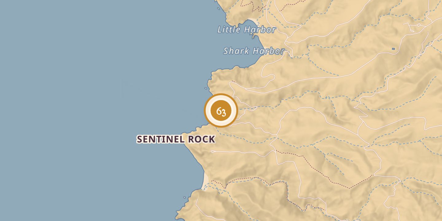
Nº 63 · Catalina Island place
Cottonwood Canyon
| Later | A bird sanctuary was planned in 1935; a dam and reservoir later provided habitat for garter snakes. |
|---|---|
| Location | 33.3761° N · 118.4793° W |
History
A 1923 description said the upper reaches of Cottonwood Canyon were dry for a mile or more, with vegetation concentrated on the broad canyon floor. Farther down, the canyon narrowed and a stream formed.
On February 12, 1930, a $1 million dam was announced for the canyon, with a planned storage capacity of 500 million gallons. Work was reported to be starting that week. In 1935, the canyon toward the dam was described as closed to hunters and intended as a bird sanctuary.
A paper on Santa Catalina Island garter snakes reported that the dam and Cottonwood Reservoir had been built about 30 years earlier. On August 4, 1974, a garter snake was captured in the stream below the dam; the paper described the reservoir and stream as the species’ known range on the island.
Chronology
- 1923A description noted dry upper reaches and a stream farther down the canyon.
- February 12, 1930A $1 million dam was announced, with work expected to begin that week.
- July 18, 1935The canyon toward the dam was described as a planned bird sanctuary closed to hunters.
- August 4, 1974A garter snake was captured in the stream below Cottonwood Reservoir.
Sources
Every source for this place is numbered on the Sources page, with original records listed first.