Nº 64 · Site
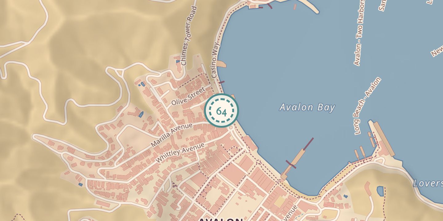
Crescent Avenue
1887
| Founded or built | 1887 |
|---|---|
| Built by | George Shatto laid out Avalon; surveyors plotted its streets. |
| First use | Known locally as The Strand or Front Street, it ran along Avalon’s waterfront. |
| Later | Avalon’s commercial and social center; redesigned in a Spanish Colonial style in the 1930s. |
| Today | Avalon’s main crescent-shaped waterfront road. |
| Address | Crescent Avenue, Avalon, Santa Catalina Island, California |
| Location | 33.3455° N · 118.3272° W (approximate) |
History
George Shatto laid out Avalon facing the bay after purchasing Santa Catalina Island in 1887, and surveyors plotted streets on the flat land behind the crescent-shaped bay. Crescent Avenue was originally known locally as The Strand or Front Street.
The avenue became Avalon’s commercial and social center, with a commercial district along it by 1910. In the 1930s, Philip Wrigley directed a redesign in a Spanish Colonial style. The name is given as Avenida La Crescenta in one source and Avenida de Crescenta in another; Frasher photographs show the avenue in 1946.
Chronology
- 1887George Shatto laid out Avalon, and surveyors plotted its streets.
- 1910A commercial district had developed along Crescent Avenue.
- 1930sPhilip Wrigley directed a Spanish Colonial-style redesign; the avenue was called Avenida de Crescenta.
- 1946Frasher photographs showed the avenue.
Notes
- Pin marks the street.
Sources
Every source for this place is numbered on the Sources page, with original records listed first.