Nº 65 · Catalina Island place
Dakin's Cove
| Built by | Augustus W. Timms built a landing in the area. |
|---|---|
| First use | A landing for visitors who came for bathing and fishing; Timms also began sheep-herding on the island. |
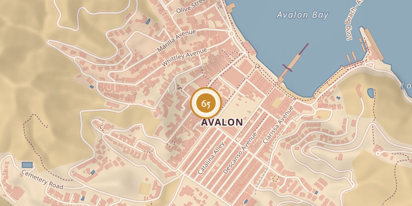
| Today | Dakin's Cove was an earlier name for Avalon Bay and Timm's Harbor. |
| Location | 33.3428° N · 118.3279° W |
History
In the 1860s, Augustus W. Timms began a sheep-herding business on Santa Catalina Island and built a landing. He brought visitors by boat for bathing and fishing; the settlement was generally called Timms Landing, though some used Dakin's Cove.
C. H. Dakin lived on the island in 1876, when Stehman Forney surveyed nearby features, including Dakin's house and the ridge west of Dakin's Cove. By 1883, Timms Landing had three buildings and thirty tents; a 1904 Coast and Geodetic Survey report described nearby features using Forney's 1876 survey.
Chronology
- 1860sAugustus W. Timms began sheep-herding and built a landing; visitors came for bathing and fishing.
- 1876C. H. Dakin lived on the island; Stehman Forney surveyed nearby features.
- 1883Timms Landing had three buildings and thirty tents.
- 1904A Coast and Geodetic Survey report described nearby features based on Forney's 1876 survey.
Sources
Every source for this place is numbered on the Sources page, with original records listed first.