Nº 68 · Catalina Island place
Descanso Canyon
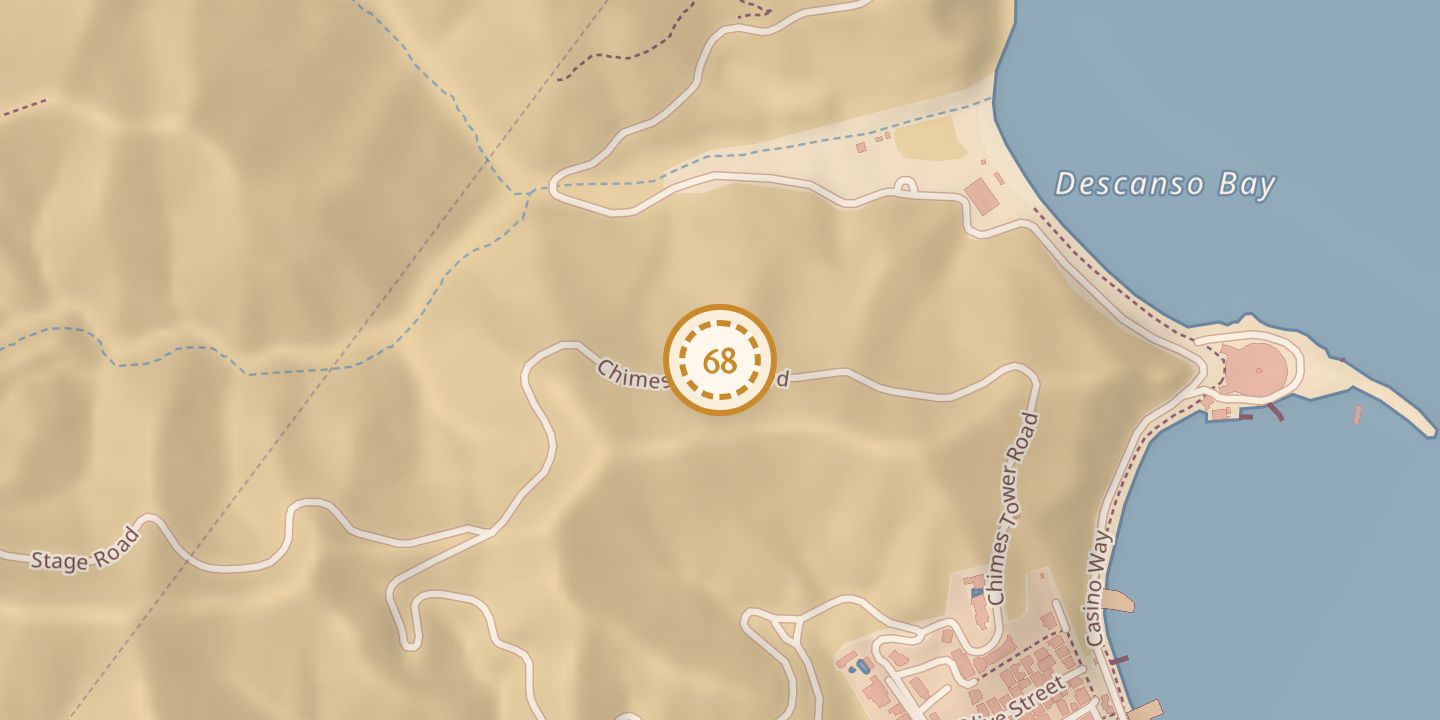
| Built by | The Banning brothers financed construction of the Hotel St. Catherine at the canyon mouth. |
|---|---|
| First use | The Hotel St. Catherine opened to visitors on June 28, 1918. |
| Later | During World War II, hotel rooms were converted into apartments for Merchant Marines in training. |
| Today | The former hotel property at the canyon mouth is now the Descanso Beach Club. |
| Location | 33.3490° N · 118.3315° W (approximate) |
History
Descanso Canyon appeared on an 1893 topographic map of Santa Catalina Island. A postcard captioned in 1902 identified Banning’s residence in the canyon.
After a 1915 fire damaged much of Avalon, the Banning brothers sold shares in their company to help fund construction of the Hotel St. Catherine at the canyon’s mouth. The hotel opened to visitors on June 28, 1918, and was later expanded by William Wrigley Jr.
A 1923 description noted that the hotel occupied the canyon mouth, while the canyon narrowed beyond the buildings and offered an ascent to the Coach Road. During World War II, some hotel rooms became apartments for Merchant Marines in training; the hotel later reopened to guests.
The hotel was demolished on February 12, 1966. Its former property is now the Descanso Beach Club.
Chronology
- 1893Descanso Canyon appeared on a topographic map of Santa Catalina Island.
- 1902A postcard caption identified Banning’s residence in the canyon.
- 1915A fire damaged much of Avalon; the Bannings later sold company shares to help fund the hotel.
- 1918The Hotel St. Catherine opened to visitors on June 28.
- 1923A published description placed the hotel at the canyon mouth and described the canyon beyond it.
- 1966The Hotel St. Catherine was demolished on February 12.
Notes
- Pin marks the canyon behind Descanso Bay.
Sources
Every source for this place is numbered on the Sources page, with original records listed first.