Nº 71 · Catalina Island place
East Mountain
| First use | Triangulation station |
|---|---|
| Today | A hard hiking loop from Avalon named for East Mountain and Green Pleasure Pier is listed at 18.6 km. |
| Location | 33.3181° N · 118.3182° W |
History
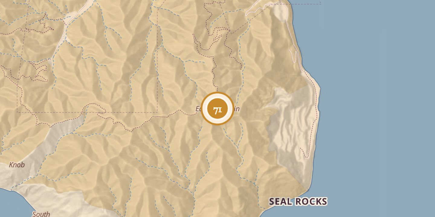
In 1876, Stehman Forney described a station at the northern end of a high ridge running north to south across the eastern end of Santa Catalina Island. A trail from Dakin’s Cove toward the south passed near the station.
A hiking guide later listed a hard 18.6 km loop from Avalon named for East Mountain and Green Pleasure Pier.
Chronology
- 1876Stehman Forney described a station on the ridge at the island’s eastern end.
Sources
Every source for this place is numbered on the Sources page, with original records listed first.