Nº 72 · Catalina Island place
Echo Lake
| Later | Studied in research on Catalina’s paleolithic environments. |
|---|---|
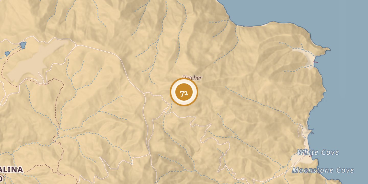
| Today | A natural freshwater wetland and the island’s only natural freshwater body. It lies between White’s Cove and Airport-in-the-Sky, at 1,322 feet above sea level, amid hardened lava beds. |
| Location | 33.4004° N · 118.3909° W |
History
Echo Lake dates to the late Pleistocene. It is a small lake in a cove surrounded by hills, between White’s Cove and Airport-in-the-Sky.
A March 22, 1891, news account described a visit to the lake during a trip from White’s Valley to Black Jack. The lake appeared on an 1893 topographical map and on a map in The Islander on August 1, 1916.
A 1923 account reported that Echo Lake appeared nearly waterless during a mid-September visit. In August 1974, a researcher was told it had been trampled and grazed into a muddy, vegetation-bare pond by goats, bison, and hogs.
Research cited in 2017 used Echo Lake to help investigate the ancient environments of the California Islands. It is identified as a natural freshwater wetland and the island’s only natural freshwater body.
Chronology
- March 22, 1891A news account described a visit to Echo Lake.
- 1893Echo Lake appeared on a topographical map of Santa Catalina Island.
- August 1, 1916The lake appeared on a map in The Islander.
- 1923A published account described the lake as nearly waterless during a mid-September visit.
- August 1974A researcher was told that grazing and trampling had left the pond bare of vegetation and muddy.
- 2017Research cited for Echo Lake helped investigate paleolithic environments of the California Islands.
Sources
Every source for this place is numbered on the Sources page, with original records listed first.