Nº 74 · Catalina Island place
Emerald Bay
1864
| Founded or built | 1864 (first record of the bay); Camp Emerald Bay founded 1925 |
|---|---|
| Built by | Crescent Bay Area Council founded Camp Emerald Bay. |
| First use | The Johnson brothers used the area to graze cattle and sheep in the mid-19th century. |
| Later | A Boy Scout camp opened in 1925. The Navy requisitioned it in 1940 for training, and the camp reopened in 1946. |
| Today | Camp Emerald Bay serves Scouts during the summer. Emerald Bay also has a Corsair Yacht Club; its facilities are private and not open to the public. |
| Location | 33.4656° N · 118.5254° W |
History
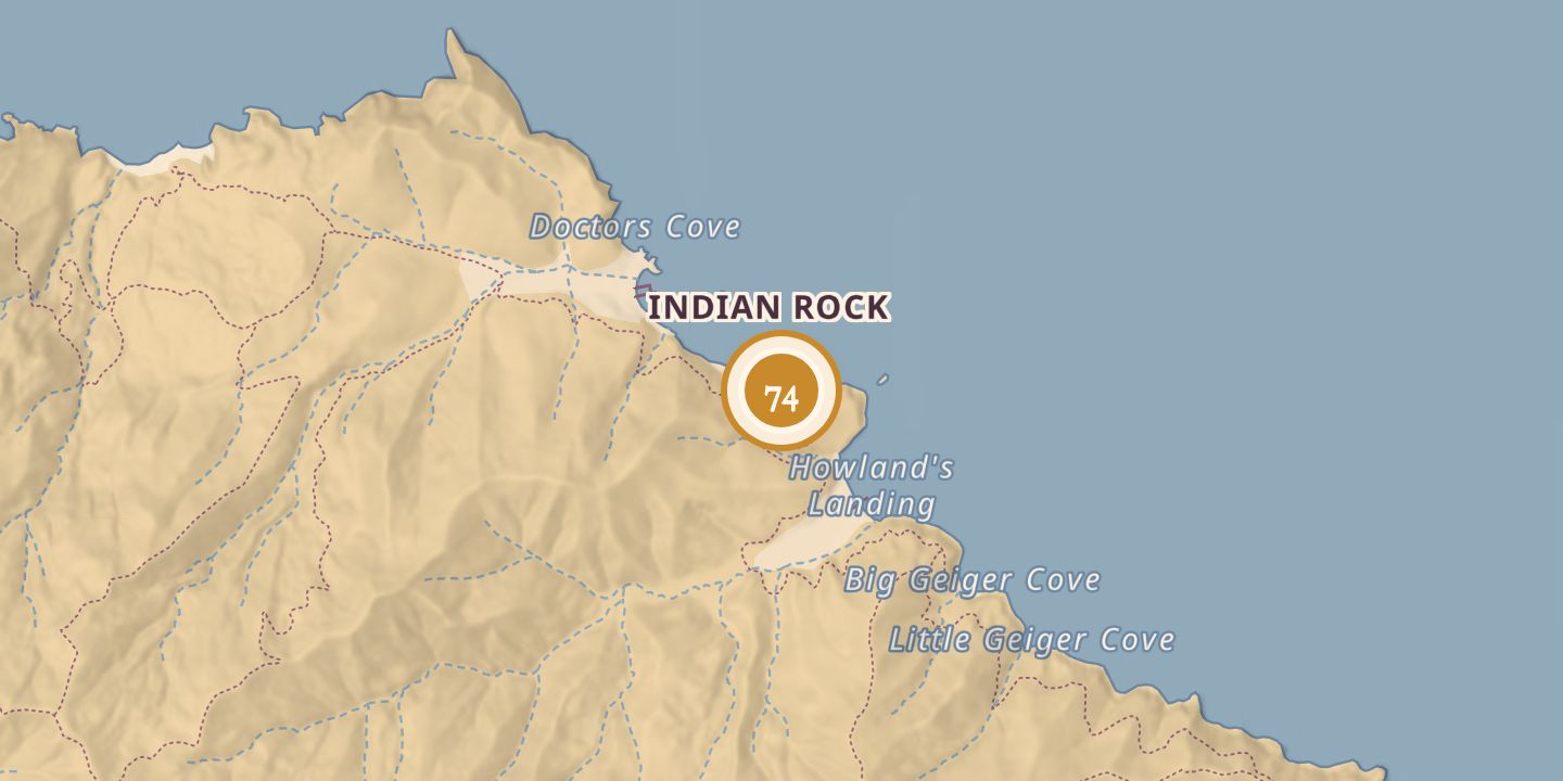
Emerald Bay lies west of Howland’s Landing. A 1864 account called it Wilson’s Valley, while another history says it was known as Johnson’s Landing in the mid-19th century. The Johnson brothers used the area to graze cattle and sheep.
The Crescent Bay Area Council founded a Boy Scout camp there in 1925. The Navy requisitioned it in 1940; one history describes the use as underwater demolition training, while another calls it a Seabee training base. The camp reopened in 1946 with about 80–100 campers and 15 staff, and today serves Scouts during the summer.
Chronology
- 1864An account called the bay Wilson’s Valley.
- 1925The Crescent Bay Area Council founded a Boy Scout camp.
- 1940The Navy requisitioned the camp for training.
- 1946The camp reopened with about 80–100 campers and 15 staff.
Sources
Every source for this place is numbered on the Sources page, with original records listed first.