Nº 75 · Catalina Island place
Empire Landing
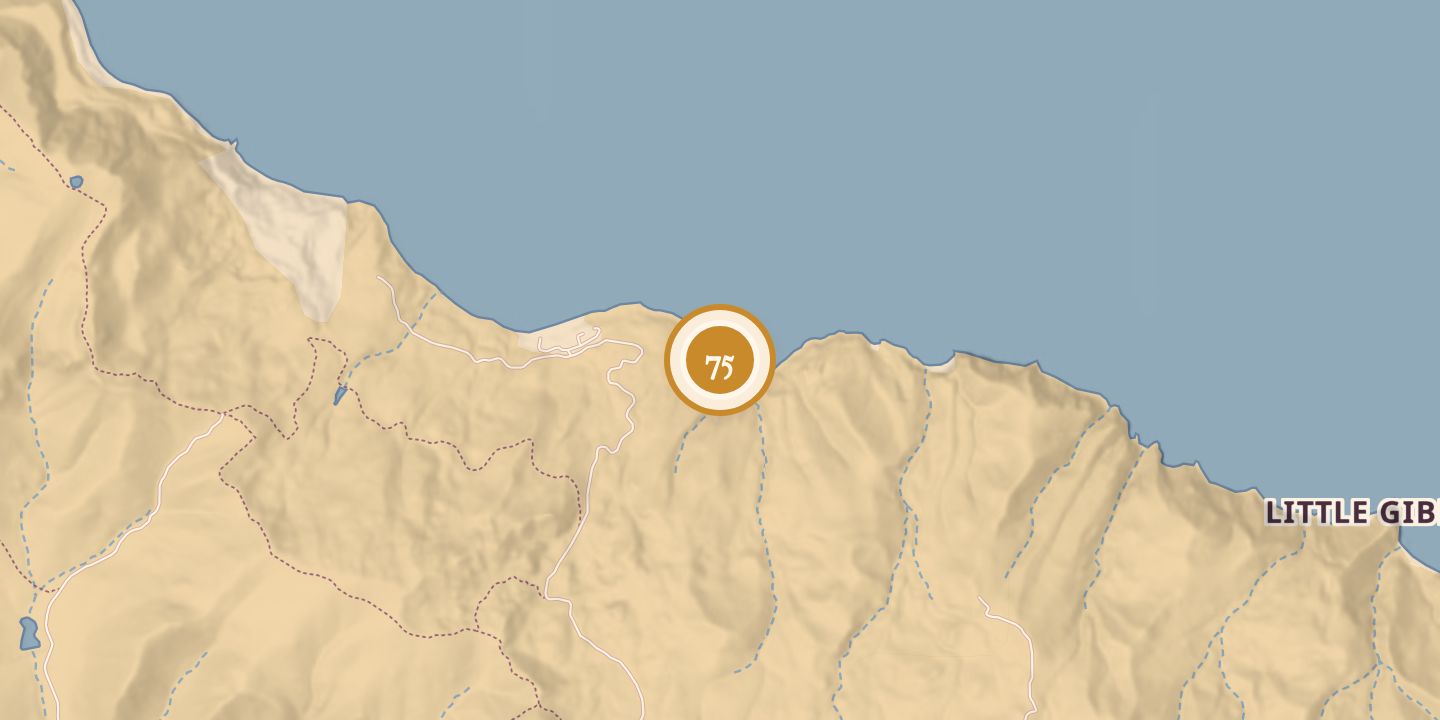
| First use | A landing and anchorage used for shipping quarry rock and sheep. |
|---|---|
| Later | A stone pier served shipping at the landing. |
| Location | 33.4270° N · 118.4345° W |
History
Empire Landing appeared on an 1893 map at the mouth of Pott’s Valley. It was named for Walter Vail’s Empire Ranch near Tucson; Vail and Carroll W. Gates leased most of Santa Catalina Island for pasturage from 1894 to 1896.
Quarry stone from the area was shipped by barge for breakwaters, and sheep were shipped from the landing. A stone pier built in 1903 was destroyed by a storm in 1904. The landing appeared on a map in 1916; the quarry was reported inactive since 1913.
Chronology
- 1893Empire Landing appeared on a topographical map.
- 1894–1896Walter Vail and Carroll W. Gates leased most of the island for pasturage.
- 1896Eighty employees were reported at the quarry.
- 1899A report described a stone-sawing plant and quarry at Empire Landing.
- 1903A stone pier was built; sheep were shipped from the landing.
- 1904A storm destroyed the stone pier.
- 1906Two schooners were loaded with Catalina mutton at Empire.
- 1913The quarry was reported inactive from this year.
- 1916Empire Landing appeared on a map in The Islander.
Sources
Every source for this place is numbered on the Sources page, with original records listed first.