Nº 78 · Catalina Island place
Frog Rock
| Today | A popular point for kayakers venturing from Avalon. |
|---|---|
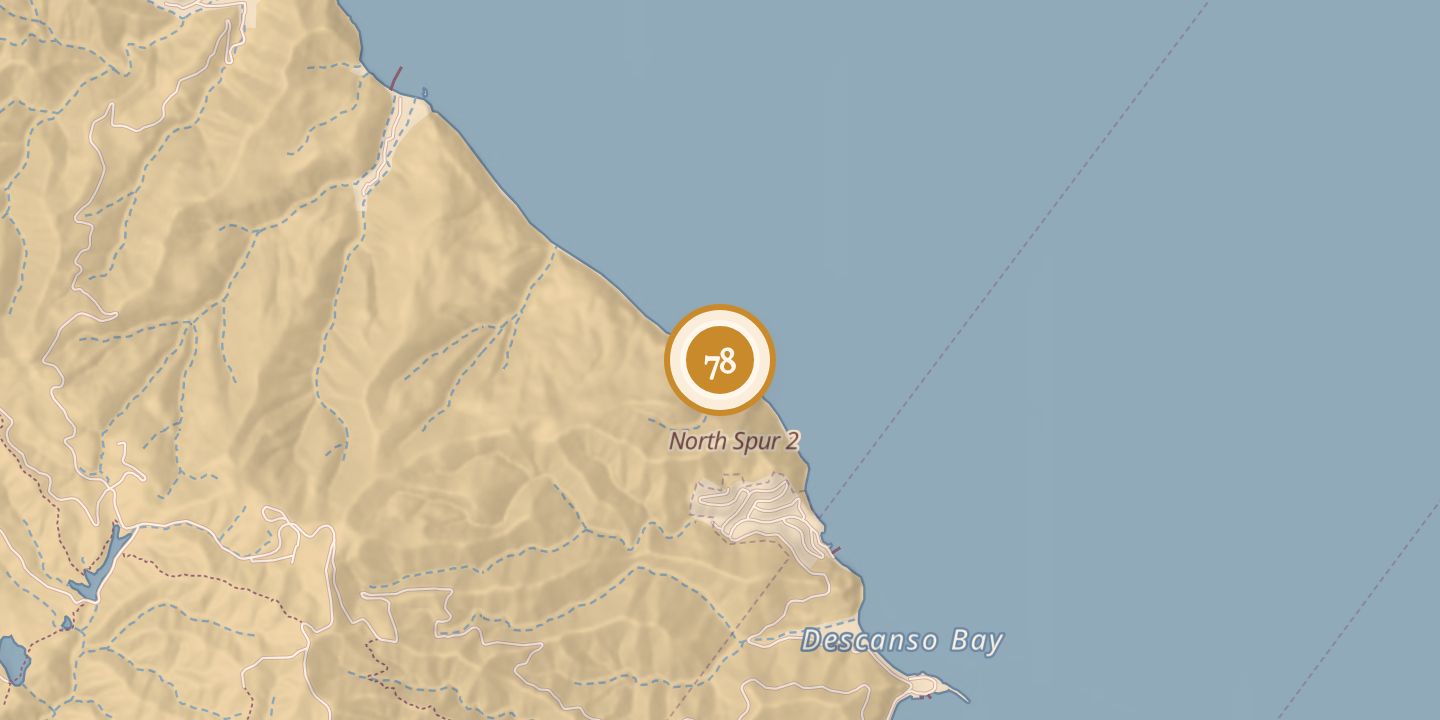
| Location | 33.3606° N · 118.3345° W |
History
The origin of Frog Rock’s name is unclear. It may refer to the rock’s resemblance to a resting frog, or to people climbing it and jumping into the sea.
The 194-ton vessel Brodie, in service from 1931 to 1965, burned about one-eighth mile north of Frog Rock on April 11, 1965.
Chronology
- 1931–1965The 194-ton vessel Brodie was in service.
- 1965-04-11Brodie burned about one-eighth mile north of Frog Rock.
Sources
Every source for this place is numbered on the Sources page, with original records listed first.