Nº 81 · Catalina Island place
Goat Harbor
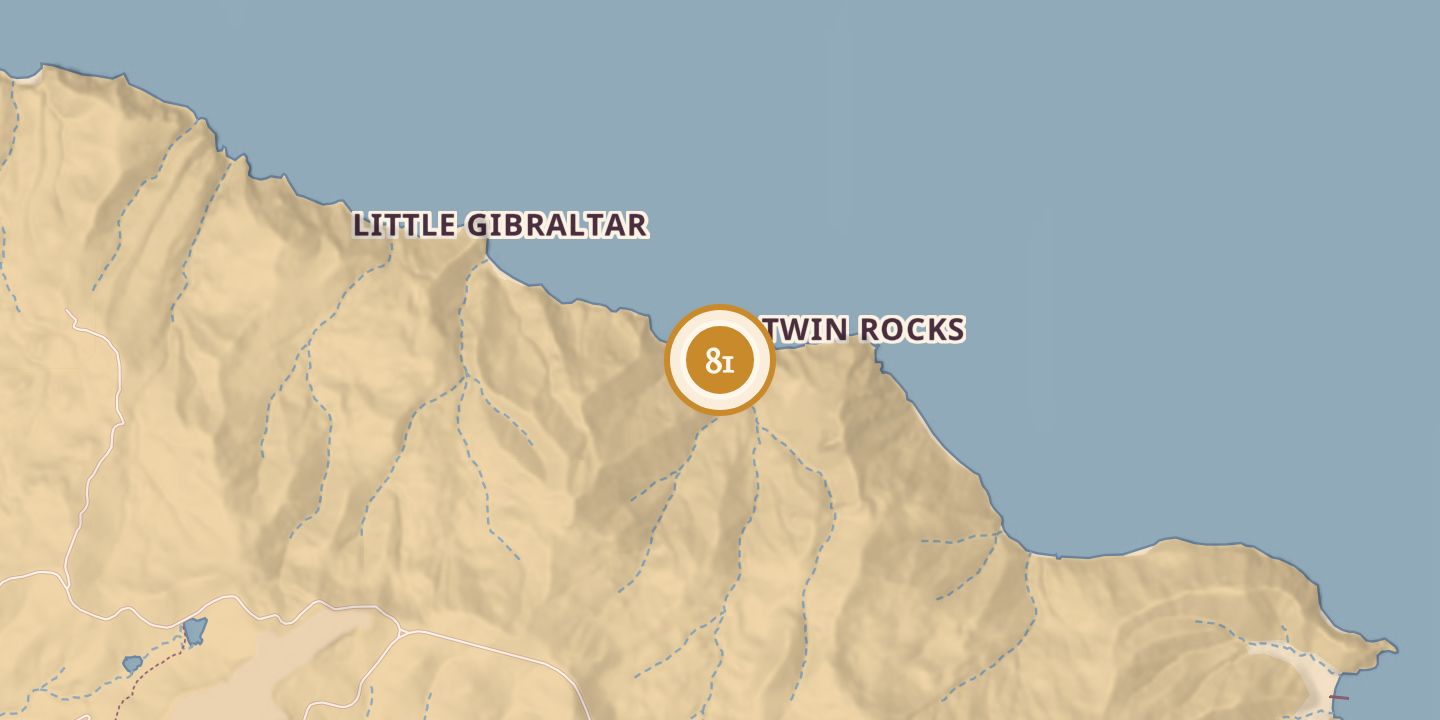
| First use | Landing used by wild-goat hunters |
|---|---|
| Later | Starting point for a trail across the island to Middle Ranch |
| Today | One of Santa Catalina Island’s designated primitive boat-in beach campsites |
| Location | 33.4167° N · 118.3954° W |
History
During the 1800s, Goat Harbor was a favored landing for hunters pursuing wild goats in the surrounding hills and valleys. It also marked the start of the first trail across Santa Catalina Island to Middle Ranch; lumber for the ranch’s first buildings was carried over the hills on burros.
In 1954, Jack Bently Nichols drowned while skin diving at Goat Harbor. Lifeguards reported that he apparently became caught in a kelp bed. Today, Goat Harbor is one of the island’s designated primitive boat-in beach campsites.
Chronology
- 1918A notice described Goat Harbor as a former landing for wild-goat hunters and the starting point of the trail to Middle Ranch.
- 1954Jack Bently Nichols drowned while skin diving at Goat Harbor.
Sources
Every source for this place is numbered on the Sources page, with original records listed first.