Nº 87 · Catalina Island place
Hay Press
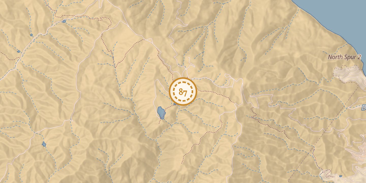
| First use | The Haypress Reservoir collected winter rainfall. |
|---|---|
| Later | A public playground and picnic area. |
| Today | The public playground and picnic area is maintained by the Avalon Lions Club. |
| Location | 33.3528° N · 118.3612° W (approximate) |
History
Hay Press, also called Haypress, appeared on an 1893 map of Santa Catalina Island and on a map in The Islander dated August 1, 1916. The Haypress Reservoir collected winter rainfall. A 1923 description identified the Hay Press as a meadow, with willows along the gulley at its lower end marking the entrance to Grand Canyon.
In 1931, a report noted that considerable water had collected at the Haypress Reservoir; in February 1932, it reported that the reservoir was full. In December 2008, the picnic area was cleared of dead, burnt, and unhealthy trees, and about 70 Torrey pines were planted. The Avalon Lions Club maintains the public playground and picnic area.
Chronology
- 1893Hay Press appeared on a topographical map of Santa Catalina Island.
- August 1, 1916Hay Press appeared on a map in The Islander.
- 1923A flora described the Hay Press meadow and the gulley at its lower end.
- February 11, 1931A report noted that considerable water had collected at the Haypress Reservoir.
- February 17, 1932A report stated that the Haypress Reservoir was full.
- December 2008About 70 Torrey pines were planted in the picnic area.
Notes
- Pin marks Haypress Reservoir.
Sources
Every source for this place is numbered on the Sources page, with original records listed first.