Nº 88 · Catalina Island place
Hen Rock
| Later | Snorkeling, diving, mooring, and boat anchorage. |
|---|---|
| Today | Hen Rock has reefs and marine life. Its shore facilities are leased to the Balboa Yacht Club. |
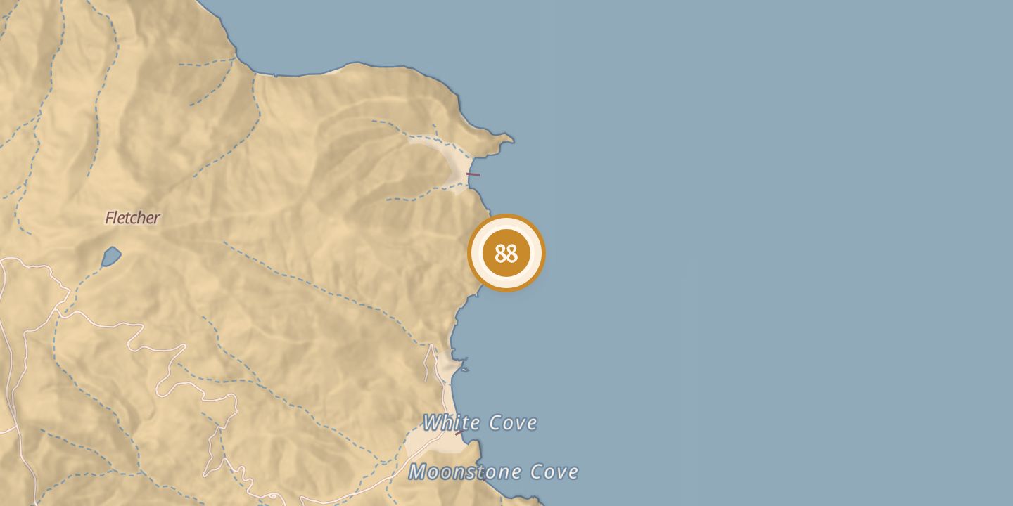
| Location | 33.4006° N · 118.3668° W |
History
Hen Rock lies just south of Long Point on Santa Catalina Island’s front side. It is accessible only by boat and has reef and sand bottoms, with depths ranging from about 15 to 85 feet.
The site is used for snorkeling and diving. Several descriptions list 25 moorings and anchorage for 40 boats; one sailing guide lists 24 moorings and anchorage for 10.
Sources
Every source for this place is numbered on the Sources page, with original records listed first.