Nº 91 · Catalina Island place
Howland's Landing
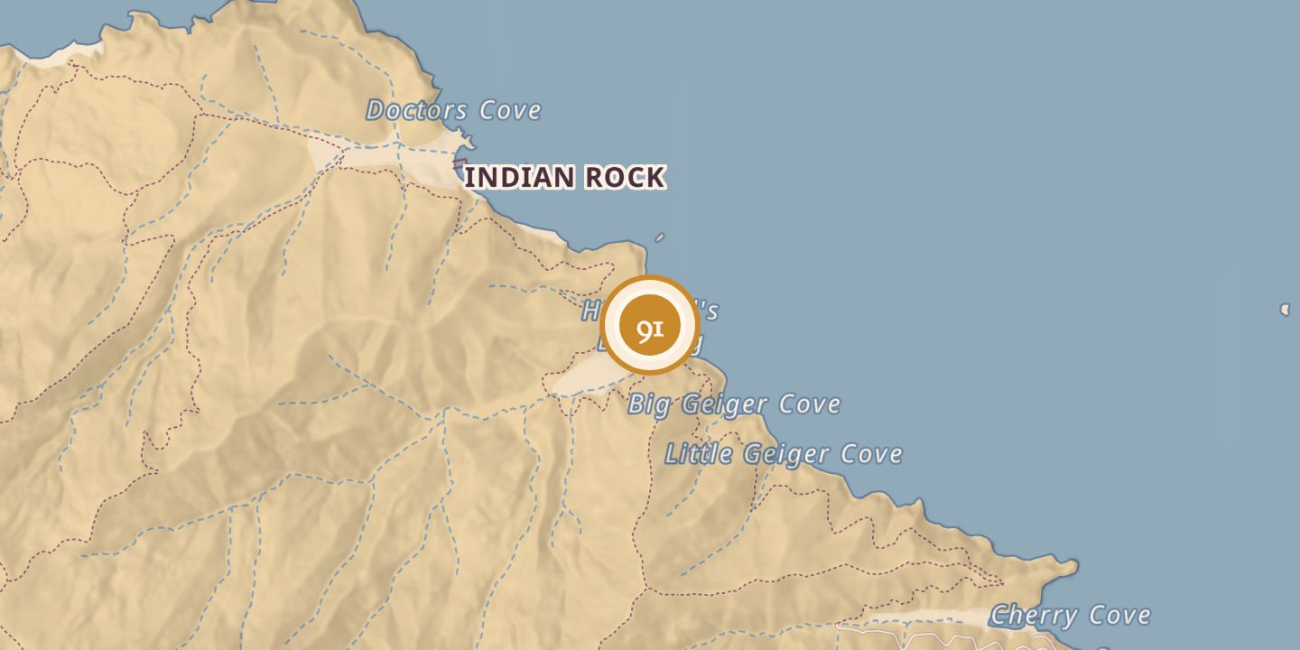
| Built by | Captain William Roberto Garcia Howland's family |
|---|---|
| First use | Sheep ranch |
| Later | Office of Strategic Services training location during World War II |
| Today | The site has 40 moorings, Catalina Island Camp, and Los Angeles Yacht Club facilities on shore. |
| Location | 33.4625° N · 118.5218° W |
History
Named for Captain William Roberto Garcia Howland, Howland's Landing was his family's sheep ranch by 1864. In February 1865, his wife, Sarah Ann, planted a fig tree there to mark Abraham Lincoln's re-election.
During World War II, Howland's Landing was one of six Catalina Island parcels leased to the Office of Strategic Services on April 1, 1945, and it was among the island locations where the OSS trained. The lease ended effective September 30, 1945, and the sites were returned to the Santa Catalina Island Company. Today, the landing has 40 moorings, Catalina Island Camp, and Los Angeles Yacht Club facilities on shore.
Chronology
- 1864Howland's Landing was the Howland family's sheep ranch.
- February 1865Sarah Ann Howland planted a fig tree to mark Abraham Lincoln's re-election.
- 1 April 1945The OSS leased Howland's Landing as one of six Catalina Island parcels.
- 30 September 1945The OSS lease for Howland's Landing and the satellite sites ended.
Sources
Every source for this place is numbered on the Sources page, with original records listed first.