Nº 93 · Catalina Island place
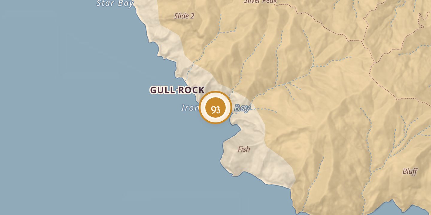
Iron Bound Bay
| Later | Vessels used the bay as an anchorage, particularly in northeasterly winds. |
|---|---|
| Today | A somewhat exposed anchorage with an opening nearly one-third of a mile wide and water about 50 feet deep. |
| Location | 33.4470° N · 118.5751° W |
History
Iron Bound Bay lay on Santa Catalina Island’s south side near Ribbon Rock. Its opening was nearly one-third of a mile wide, and its water was about 50 feet deep.
A story set at the bay says newlyweds John and Elaine anchored there in June 1933 to wait out a squall, then left after seeing a creature ashore. The story later follows John and Dave on a return trip to the cove.
Chronology
- June 1933In a story set at the bay, newlyweds John and Elaine anchored there during a squall.
Sources
Every source for this place is numbered on the Sources page, with original records listed first.