Nº 94 · Catalina Island place
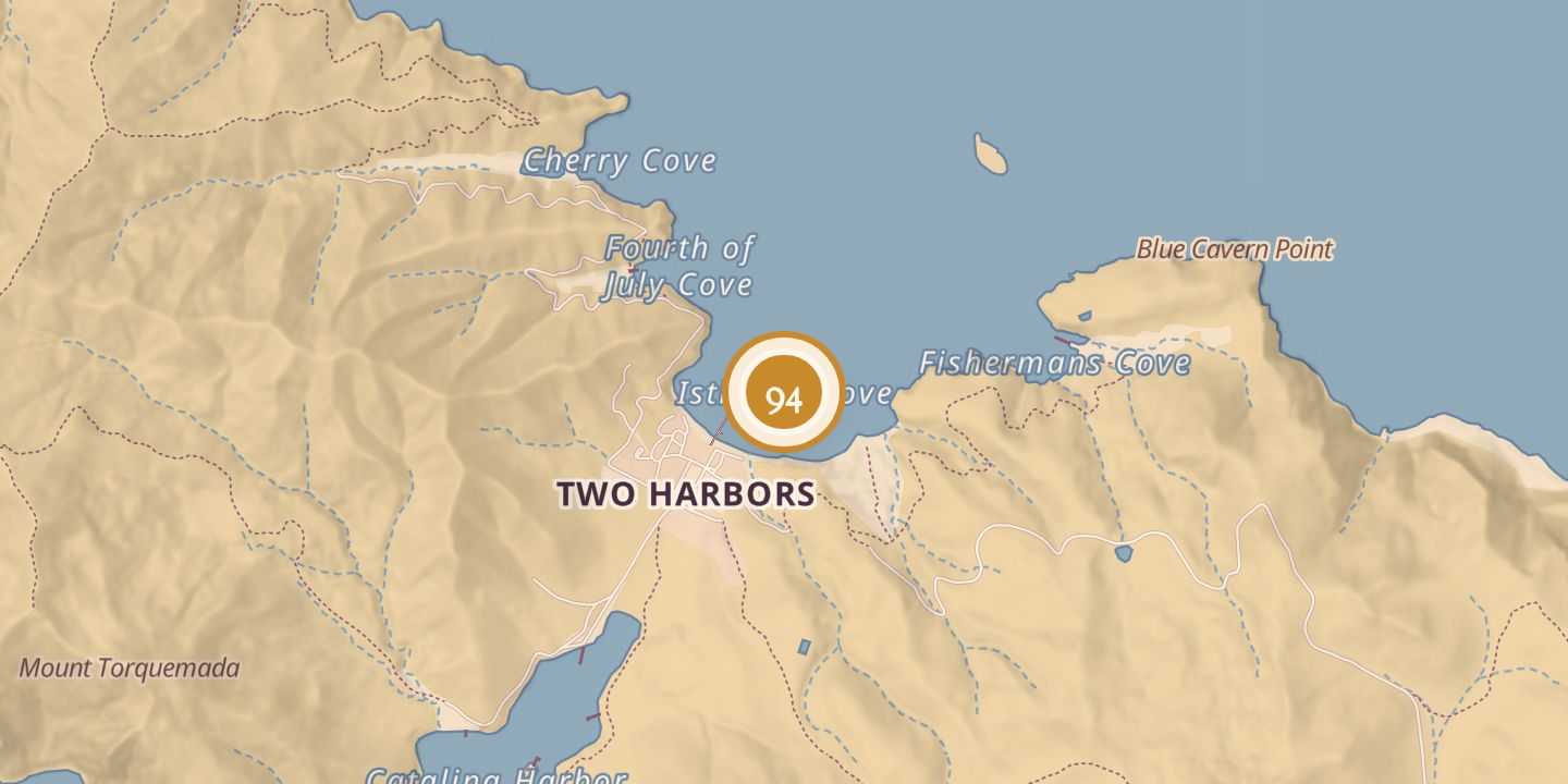
Isthmus
| Built by | Union troops built the Civil War barracks; Joseph Brent Banning built his house in 1909. |
|---|---|
| Architect | Olmsted Brothers, hired to help design the resort in 1903. |
| First use | Isthmus Cove was mapped as Puerto de Santa Catalina in 1602. |
| Later | Civil War barracks, resort development, film location, and Coast Guard training base. |
| Location | 33.4434° N · 118.4954° W |
History
Father Antonio de la Ascension mapped Isthmus Cove in 1602 and identified it as Puerto de Santa Catalina. Across the isthmus, the harbor was marked Ensenada, meaning bay.
The cove was selected for Civil War barracks in 1863. Union troops left the island on September 14, 1864; the barracks later served as a Coast Guard training base during World War II and became the Isthmus Yacht Club.
The Bannings began developing the area as a resort in 1899, planting eucalyptus trees and building a pier and water and sanitation facilities. They hired Olmsted Brothers in 1903 to help with designs, but put the project on hold in 1905 and resumed improvements in 1908.
Joseph Brent Banning built his house at the Isthmus in 1909; it now operates as Banning House Lodge. From the 1920s into the mid-1940s, the area served as a location for films, and Isthmus Cove is now a tourist destination.
Chronology
- 1602Father Antonio de la Ascension mapped Isthmus Cove as Puerto de Santa Catalina.
- 1863The cove was selected as the site for Civil War barracks.
- 1864The last Union soldiers left the island on September 14.
- 1899The Bannings began developing the isthmus as a resort.
- 1903Olmsted Brothers were hired to help with resort designs; the stage road was completed late that year.
- 1905The Isthmus development project was put on hold.
- 1908The Bannings made further improvements.
- 1909Joseph Brent Banning built his house at the Isthmus.
- 1935Art LaShelle opened Christian's Hut in a building left by a movie set.
Sources
Every source for this place is numbered on the Sources page, with original records listed first.