Nº 95 · Catalina Island place
Italian Gardens
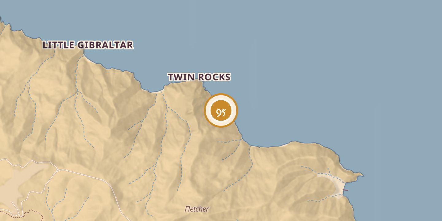
| First use | A favored fishing spot for Italian fishermen, who also dried their nets on its beaches. |
|---|---|
| Later | Boat-in camping. |
| Today | A boat-in camping area with three designated beach campsites, popular with kayak campers. |
| Location | 33.4139° N · 118.3862° W |
History
In the 1800s, Italian fishermen based in San Pedro favored the reef at Italian Gardens for fishing and dried their nets on its beaches. The place was named for these fishermen.
Italian Gardens later became a boat-in camping area on Santa Catalina Island’s leeward shore, between Long Point and Goat Harbor. It has three designated beach campsites and is a popular destination for kayak campers. In 1960, 18-year-old Dale Martineau drowned while skin diving nearby.
Chronology
- 1800sItalian fishermen used the reef for fishing and dried nets on the beaches.
- 1960Dale Martineau, 18, drowned while skin diving nearby.
Sources
Every source for this place is numbered on the Sources page, with original records listed first.