Nº 96 · Catalina Island place
Jewfish Point
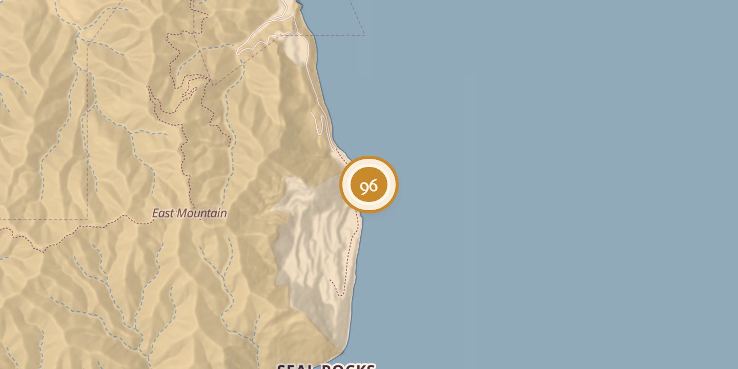
| Later | Used as a landmark in defining marine areas, including a commercial fishing restriction in the 1960s. |
|---|---|
| Today | A headland at the far southern end of Santa Catalina Island. A marine protected area was established off Catalina in 1974. |
| Location | 33.3200° N · 118.3031° W |
History
Jewfish Point was named for a type of grouper formerly known as the jewfish. In 1923, a botanical survey described difficult access over shore rocks and recorded sparse vegetation, including *Ribes viburnifolium* in a rocky watercourse north of the point.
A 1950s oceanographic survey reported sandy mud at 48 fathoms, brittle stars, seed shrimp, tubicolous anemones, shells of *Laqueus californicus* and other marine life. In the 1960s, the point served as a landmark for defining a commercial fishing restriction. A marine protected area was established off Catalina in 1974.
Chronology
- 1923Botanical survey recorded plants at Jewfish Point.
- 1950sOceanographic survey reported seabed and marine life.
- 1960sPoint used as a landmark for a commercial fishing restriction.
- 1974Marine protected area established off Catalina.
Sources
Every source for this place is numbered on the Sources page, with original records listed first.