Nº 97 · Catalina Island place
Johnson's Landing
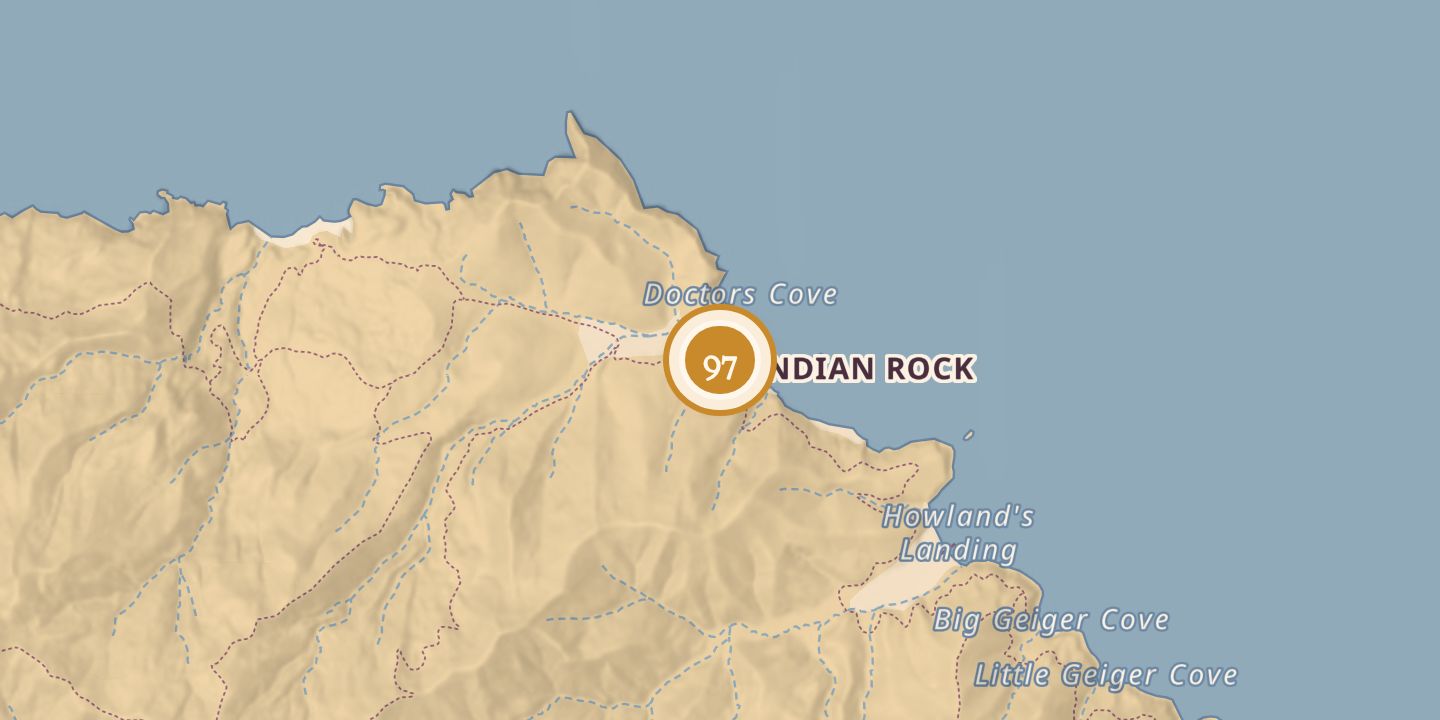
| First use | Range for grazing |
|---|---|
| Today | Emerald Bay |
| Location | 33.4686° N · 118.5320° W |
History
Johnson’s Landing was an earlier name for Emerald Bay, named for island residents John and Charles Johnson. John arrived around 1853 and used the island’s west end as range.
A report in 1863 said John Johnson had 200 cattle on the island. James Lick evicted the island’s squatters between 1864 and 1867.
Chronology
- c. 1853John Johnson arrived on the island.
- 1863A report said John Johnson had 200 cattle on the island.
- 1864–1867James Lick evicted the island’s squatters.
Sources
Every source for this place is numbered on the Sources page, with original records listed first.