Nº 100 · Catalina Island place
Lava Wall
| First use | Boat-in camping |
|---|---|
| Today | Primitive boat-in campsite on Catalina Island; it has no running water, shade structures, moorings, sanitation stations, or trash receptacles. The beach is about a quarter of a mile long. |
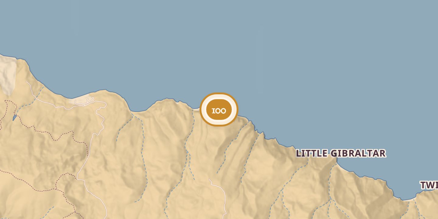
| Location | 33.4267° N · 118.4220° W |
History
Lava Wall was listed as a primitive boat-in campsite on Santa Catalina Island’s lee shore, between Avalon and Two Harbors. One listing counted eleven designated beach campsites when the Italian Gardens sites were counted separately; another described nine boat-in sites. Campers reached it by boat or kayak, and the beach was about a quarter of a mile long.
Sources
Every source for this place is numbered on the Sources page, with original records listed first.