Nº 101 · Catalina Island place
Lion's Point (Lion Head)
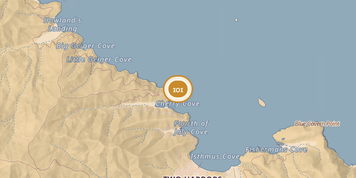
| First use | A natural point of land that sheltered Cherry Cove from prevailing afternoon winds. |
|---|---|
| Later | The surrounding waters are part of the Arrow Point to Lion Head Point State Marine Conservation Area. |
| Today | Also called Lion Head; the point is shown on maps as Lions Head. The marine conservation area allows recreational and commercial take under current regulations, except recreational take of invertebrates. |
| Location | 33.4531° N · 118.5018° W |
History
Lion’s Point, also called Lion Head, was described as lying on Cherry Cove’s west side and, in another description, at its north end. It sheltered the cove from prevailing afternoon winds.
In 1948, diver and film stunt performer Harry Boosinger died while diving off Lion’s Point, near the Isthmus.
Chronology
- 1948Harry Boosinger died while diving off Lion’s Point, near the Isthmus.
Sources
Every source for this place is numbered on the Sources page, with original records listed first.