Nº 105 · Catalina Island place
Lone Tree
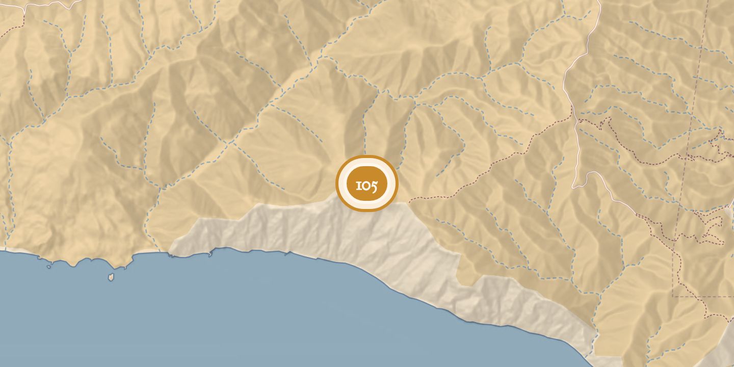
| Location | 33.3255° N · 118.3724° W |
|---|
History
Stehman Forney recorded Lone Tree in 1876. He described it as a rocky summit on Santa Catalina Island’s main north–south ridge, south of a peak with a large bush or tree near its summit; the trail passed around Lone Tree’s northwest base.
Lone Tree was listed as a peregrine falcon territory with a first known occupancy in 2014. A pair was confirmed there in 2015, and at least one fledgling was observed that year. In 2022, a pair was confirmed, but nesting status could not be determined.
Chronology
- 1876Stehman Forney recorded Lone Tree.
- 2014First known occupancy of the Lone Tree peregrine territory.
- 2015A pair was confirmed; at least one fledgling was observed.
- 2022A pair was confirmed, but nesting status could not be determined.
Sources
Every source for this place is numbered on the Sources page, with original records listed first.