Nº 109 · Catalina Island place
Lovers Cove
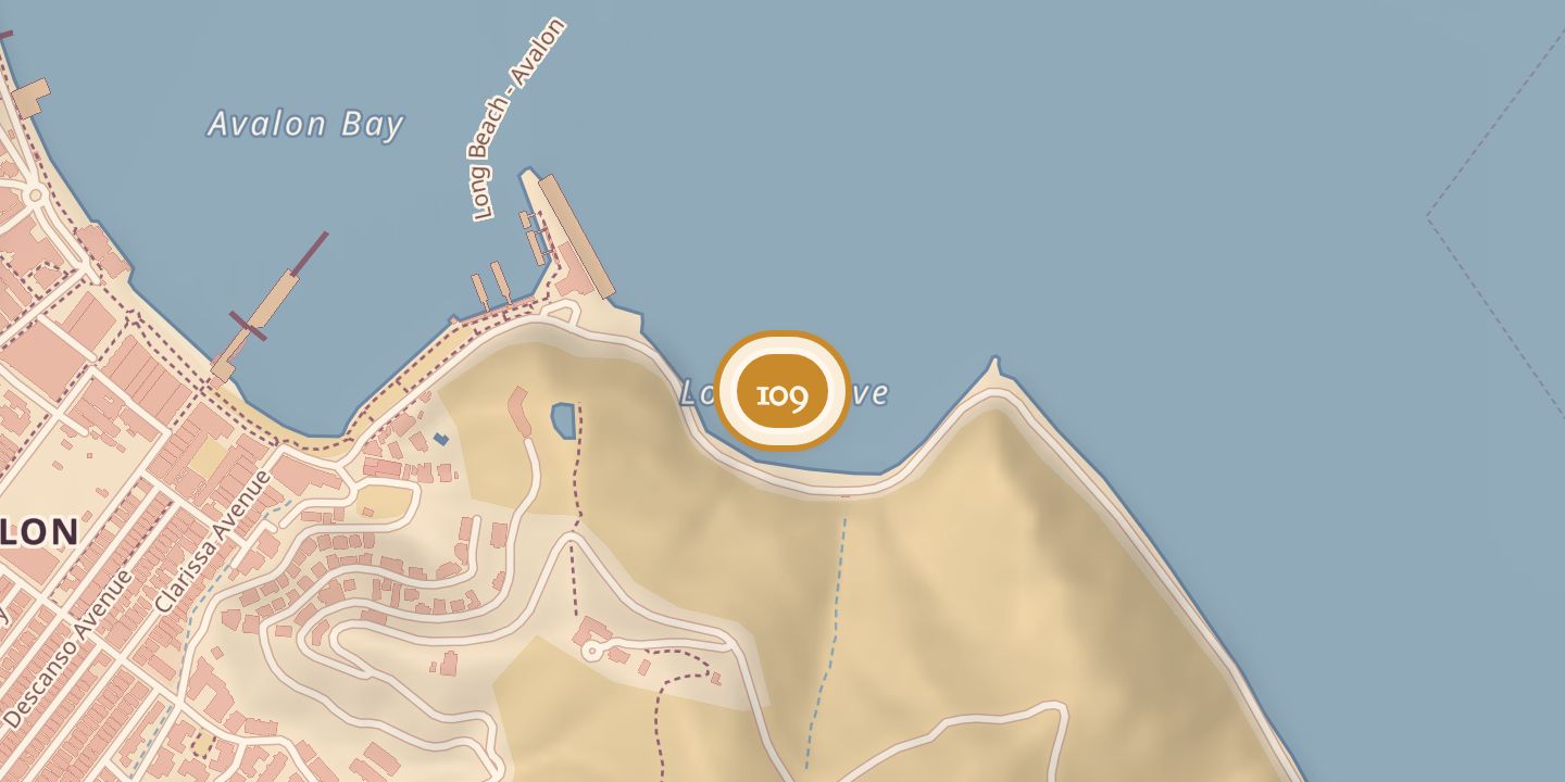
| Later | Marine preserve and destination for glass-bottom boats and a tourist submarine. |
|---|---|
| Today | A marine preserve; anchoring and SCUBA diving are prohibited, while snorkeling is permitted. |
| Address | Pebbly Beach Road, a short distance east from Avalon. |
| Location | 33.3434° N · 118.3195° W |
History
Lovers Cove lay just west of Avalon Bay on the route to Pebbly Beach, extending from Abalone Point to the Cabrillo Mole for about 500 yards. Another description placed it a short distance east of Avalon, on Pebbly Beach Road. In 1904, sewer connections around the point toward the cove were nearing completion.
In 1914, the ship Ning Po anchored in the cove, and visitors traveled from Avalon by boat to Pebble Beach. The cove was set aside as a marine preserve in the 1970s and became a destination for glass-bottom boats and a tourist submarine. Gale-force winds and record high tides damaged its boardwalk in December 1982.
Chronology
- 1904Sewer connections around the point toward Lovers Cove were nearing completion.
- 1914The Ning Po anchored in the cove; visitors traveled by boat from Avalon to Pebble Beach.
- 1970sLovers Cove was set aside as a marine preserve.
- December 1982Gale-force winds and record high tides damaged the boardwalk.
Sources
Every source for this place is numbered on the Sources page, with original records listed first.