Nº 111 · Site
Middle Canyon
1924
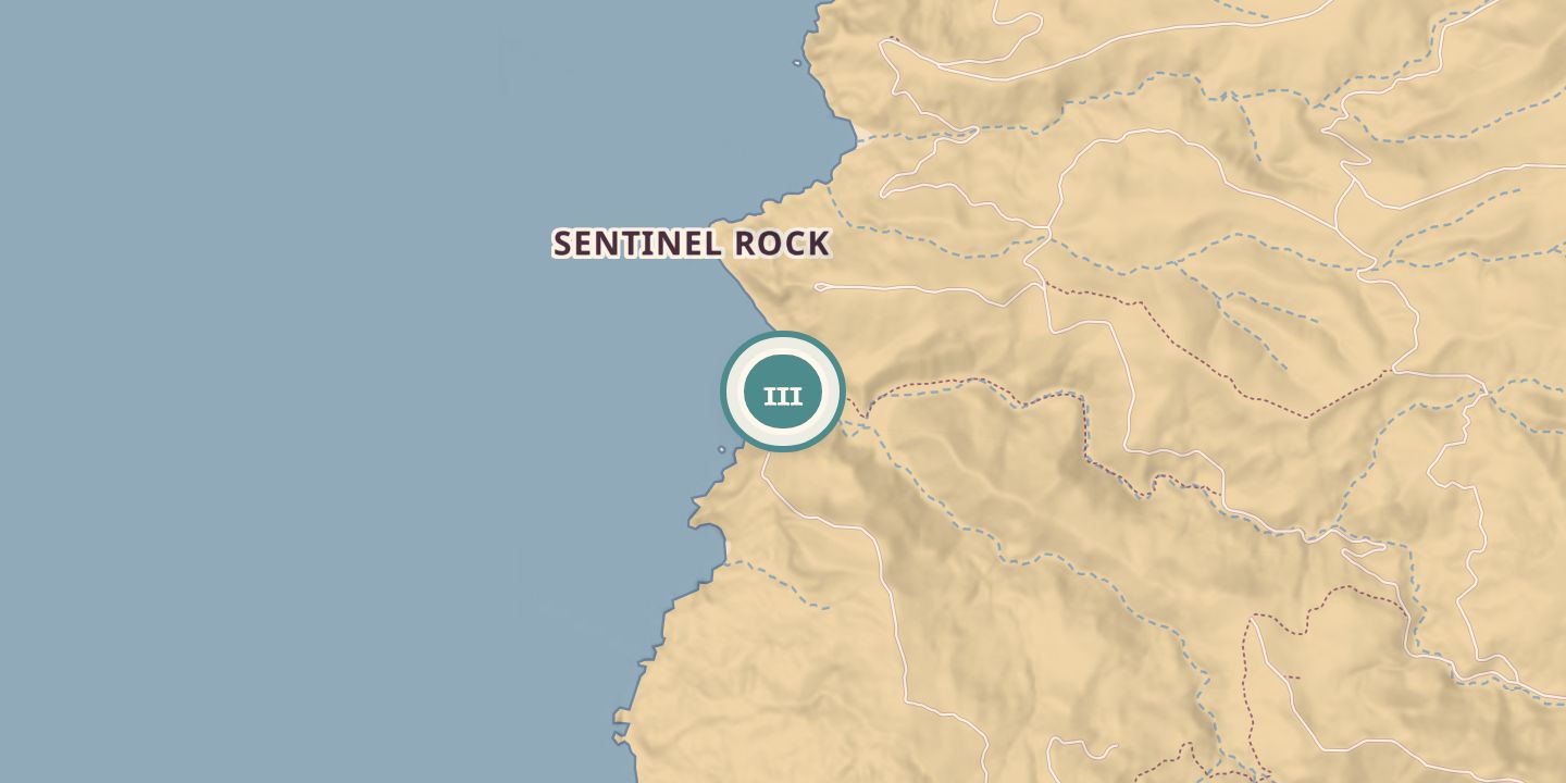
| First use | The broad canyon’s old agricultural fields were leveled and used to grow oats for more than 50 years. |
|---|---|
| Later | Water was pumped from the Middle Ranch area toward Avalon; later, the fields were used for restoration trials. |
| Today | Three shallow wells in Middle Canyon supply some of Avalon’s drinking water. Restoration work has also taken place in the canyon’s old fields. Descriptions give different areas for the old fields: 34 hectares and 80 acres. |
| Address | Central Santa Catalina Island, at an elevation of 215 m. |
| Location | 33.3679° N · 118.4820° W |
History
Middle Canyon’s old agricultural fields were leveled and used to grow oats for more than 50 years. In 1924, pumps at a new dam in the Middle Ranch area lifted water nearly 1,000 feet toward Avalon; the article describing the work was dated April 2, 1924.
The Santa Catalina Island Conservancy was established in 1972 and assumed ownership of 88% of the island in 1975. Its initial management in Middle Canyon focused on ranching and hay farming; a restoration plan was written in 1998, and trials began in 1999.
Avalon’s drinking water now comes partly from three shallow wells in Middle Canyon’s alluvial aquifer. The wells do not draw water directly from Thompson Reservoir, which helps recharge the groundwater. Restoration trials have also been conducted in the former fields.
Chronology
- 1924Pumps at a new dam in the Middle Ranch area lifted water toward Avalon.
- 1972The Santa Catalina Island Conservancy was established.
- 1975The Conservancy assumed ownership of 88% of Santa Catalina Island.
- 1998A restoration plan for Middle Canyon was written.
- 1999Restoration trials began in Middle Canyon.
Sources
Every source for this place is numbered on the Sources page, with original records listed first.