Nº 112 · Catalina Island place
Middle Ranch
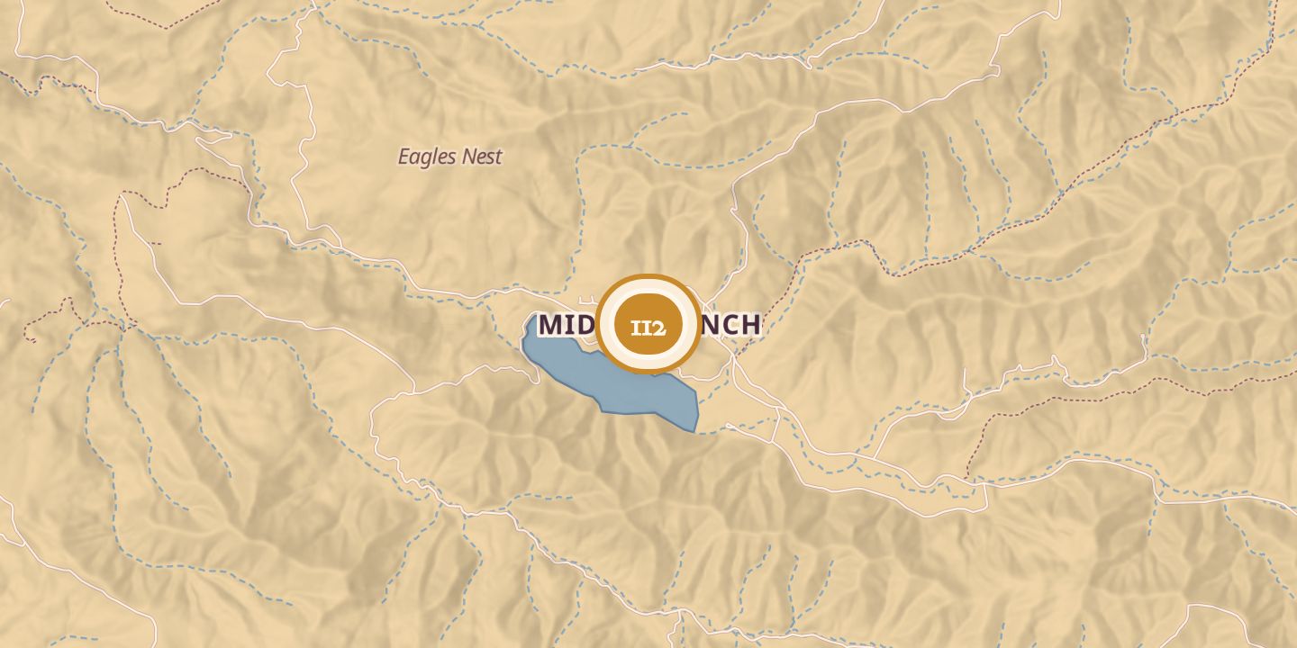
| First use | Sheep-shearing station |
|---|---|
| Later | Sheep operation headquarters, ranch home, and agricultural basin |
| Today | The island’s equestrian facility and a Catalina Island Conservancy center, with a native plant nursery, laboratories, maintenance facilities, and employee housing. |
| Location | 33.3553° N · 118.4383° W |
History
Middle Ranch, in Middle Canyon, was one of Santa Catalina Island’s early sheep-shearing stations. It appeared as Middle Ranch Stage Station on an 1893 topographical map, and crews came from the mainland twice a year to shear sheep.
From 1917 to 1924, the Mauer Cattle Company ran a sheep operation there under a grazing lease from the Santa Catalina Island Company. Thompson Dam was built in 1923, creating a reservoir and easing the ranch’s longstanding shortage of fresh water. Ranch houses were used by sheepherders and later by the Banning family.
Middle Ranch also served as an agricultural basin, where fruit trees, chickens, milk cows, and other produce were raised for Avalon. Irrigation ended in 1962, when Southern California Edison assumed water management on the island, and dry farming followed. Some fruit trees continued to produce with rainwater alone.
Today, Middle Ranch is a center for the Catalina Island Conservancy and the island’s equestrian facility. Conservancy operations there include a native plant nursery, laboratories, maintenance facilities, and housing for employees and restoration contractors.
Chronology
- 1893Shown as Middle Ranch Stage Station on a topographical map.
- 1917–1924Mauer Cattle Company leased grazing rights and ran a sheep operation.
- 1923Thompson Dam created a reservoir in Middle Canyon.
- 1950sA Middle Ranch house was built.
- 1962Irrigation ceased as Southern California Edison assumed island water management.
Sources
Every source for this place is numbered on the Sources page, with original records listed first.