Nº 8 · Site
Cabrillo Mole
1920
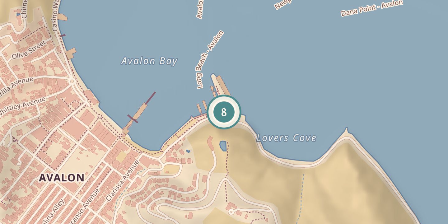
| Founded or built | 1920 (breakwater completed) |
|---|---|
| Today | Ferry landing at the south end of Avalon Bay. |
| Location | 33.3441° N · 118.3217° W |
History
The Cabrillo Mole’s breakwater was completed in 1920 as part of harbor works during the Wrigley era. The mole was named for Juan Rodríguez Cabrillo, the sixteenth-century navigator credited with the European sighting of Catalina Island.
In 1987, a time capsule was placed in a specially built wall on the mole. Today it serves as Avalon’s ferry landing, where most visitors arrive.
Chronology
- 1920Breakwater completed as part of Wrigley-era harbor works.
- 1987A time capsule was placed in a specially built wall on the mole.
Notes
- Most visitors arrive here.
Sources
Every source for this place is numbered on the Sources page, with original records listed first.