Nº 116 · Catalina Island place
Mount Orizaba
| Later | The Federal Aviation Administration installed a VORTAC directional antenna in the 1950s to guide aircraft toward Los Angeles International Airport. |
|---|---|
| Location | 33.3768° N · 118.4183° W |
History
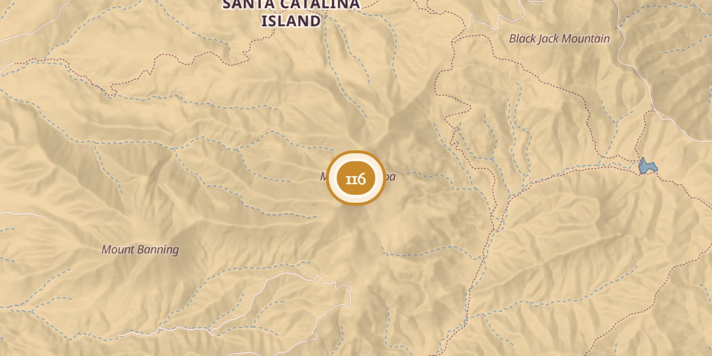
Mount Orizaba is in the center of Santa Catalina Island, between Cottonwood Canyon and Cape Canyon. It appeared as Orizaba on an 1893 topographical map.
A March 12, 1918 newspaper item described it as the island’s highest point and gave its elevation as 2,109 feet. In the 1950s, the Federal Aviation Administration installed a VORTAC directional antenna on the summit to guide aircraft toward Los Angeles International Airport.
Chronology
- 1893A topographical map showed the mountain as Orizaba.
- March 12, 1918A newspaper item called it the island’s highest point and gave its elevation as 2,109 feet.
- 1950sThe FAA installed a VORTAC directional antenna on the summit.
Sources
Every source for this place is numbered on the Sources page, with original records listed first.