Nº 117 · Catalina Island place
Mount Torquemada
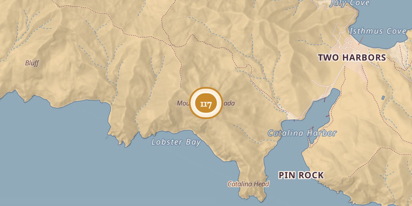
| Today | A summit on Santa Catalina Island, reached by hiking routes. |
|---|---|
| Location | 33.4343° N · 118.5211° W |
History
Mount Torquemada rises 1,336 feet and is the highest point on Santa Catalina Island’s western end. It lies next to Lobster Bay.
The summit may have been named for Fray Juan de Torquemada (c. 1562–1624), a biographer of Sebastián Vizcaíno, whose 1602 voyage explored the Channel Islands. Hikers have climbed a cactus-lined slope to the summit, which offers views along the coast; a scenic route between Two Harbors and Parsons Landing passes Mount Torquemada.
Sources
Every source for this place is numbered on the Sources page, with original records listed first.