Nº 119 · Catalina Island place
Parsons Landing
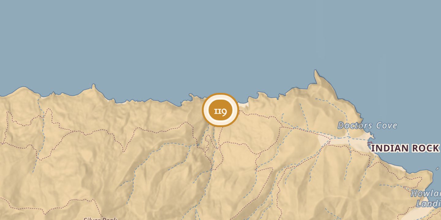
| Later | A remote beach campground. |
|---|---|
| Today | A remote campground with eight primitive campsites, accessible by hiking or kayak. |
| Location | 33.4728° N · 118.5518° W |
History
Parsons Landing was named for Nathaniel Parsons, who built a stone house near the beach, raised cattle and sheep, and grew vegetables there. Nathaniel and his twin brother Theoples were gold-seekers; in 1863, they and other miners began constructing Queen City on Catalina’s western coast, but the Union Army removed the miners while surveying for a possible reservation.
A 1896 newspaper report referred to the place as “Uncle Parson’s Beach.” In 1961, Parsons Landing was among the locations proposed for a study of possible harbors of refuge for small craft. On August 18, 1971, Edward B. Hoye drowned there while skin diving for abalone.
Chronology
- 1863The Parsons and other miners began constructing Queen City on Catalina’s western coast.
- 1896A newspaper report referred to “Uncle Parson’s Beach.”
- 1961Parsons Landing was proposed for a study of possible harbors of refuge.
- 1971Edward B. Hoye drowned while skin diving for abalone.
Sources
Every source for this place is numbered on the Sources page, with original records listed first.