Nº 120 · Catalina Island place
Pebbly Beach
1893
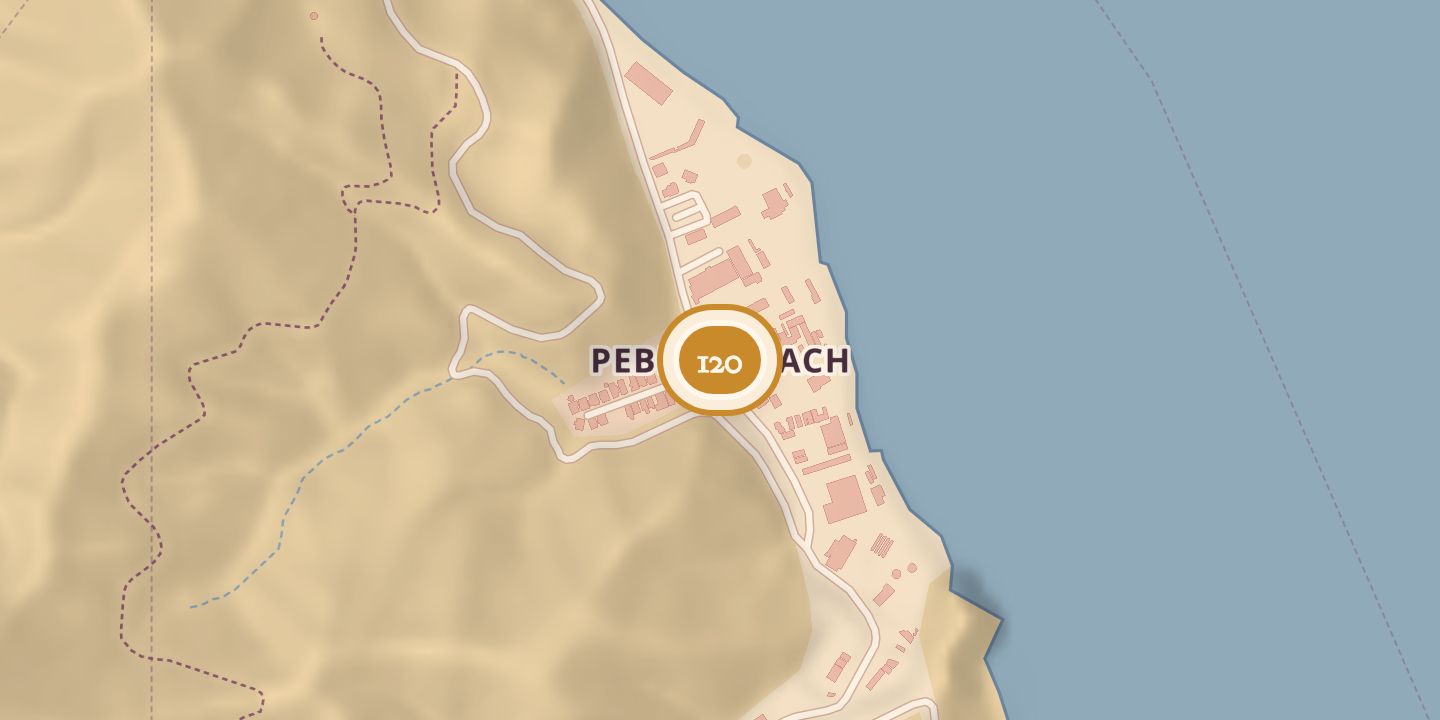
| Founded or built | 1893 (first mapped); industrial use began 1919 |
|---|---|
| Built by | William Wrigley, Jr. (brick and tile plant) |
| First use | Commercial radio-telephone system and rock-crushing plant |
| Later | Brick and tile production, quarrying, and seaplane service |
| Today | A quarry is located at Pebbly Beach; rocks from it were used in recent years for coastal harbor and dock works. |
| Address | About one mile southeast of Avalon along the shoreline |
| Location | 33.3349° N · 118.3117° W |
History
Pebbly Beach was called Piedracitas in the 19th century and appeared on an 1893 map of Santa Catalina Island. About a mile southeast of Avalon, it had been used for commercial purposes since 1919.
In spring 1919, the Pacific Telephone and Telegraph Company established the island’s first commercial radio-telephone system there. A rock-crushing plant was also established on the hillside, with a conveyor carrying rock to a loading dock; it operated until the mid-1930s. William Wrigley, Jr., chose the site in 1924 for a brick and tile plant, which was in full-scale production by 1927 and closed in 1937 because of rising production costs.
A barrio for quarry workers was built near the industrial site. Catalina Channel Airlines later used a concrete seaplane ramp at Pebbly Beach, planned in 1958. A quarry is located there today, and rock from it has been used in coastal projects.
Chronology
- 1893Pebbly Beach appeared on a map of Santa Catalina Island.
- 1919Commercial radio-telephone service began at Pebbly Beach; a rock-crushing plant was also established.
- 1923Submarine cables to the mainland ended the radio-telephone system.
- 1924William Wrigley, Jr., chose the site for a brick and tile plant.
- 1927The brick and tile plant reached full-scale production.
- 1928The plant increased production to 70,000–100,000 bricks per day.
- 1937The Catalina Pottery and Tile Manufacturing Plant ceased production.
- 1958A concrete seaplane ramp at Pebbly Beach was planned.
Sources
Every source for this place is numbered on the Sources page, with original records listed first.