Nº 7 · Site
Pleasure Pier
Wrigley era
| Founded or built | 1909 |
|---|---|
| Built by | The Santa Catalina Island Company undertook construction and maintenance; another history credits the Banning brothers with building it. |
| First use | A landing and service point for independent boatmen and sightseeing excursions, where visitors could charter boats. |
| Later | Fishing, tours, water activities, and visitor services. |
| Today | A 407-foot pier with a sportfishing weigh station and the Love Catalina Island Visitor Center; it also offers tours, water activities, fishing, and eateries. |
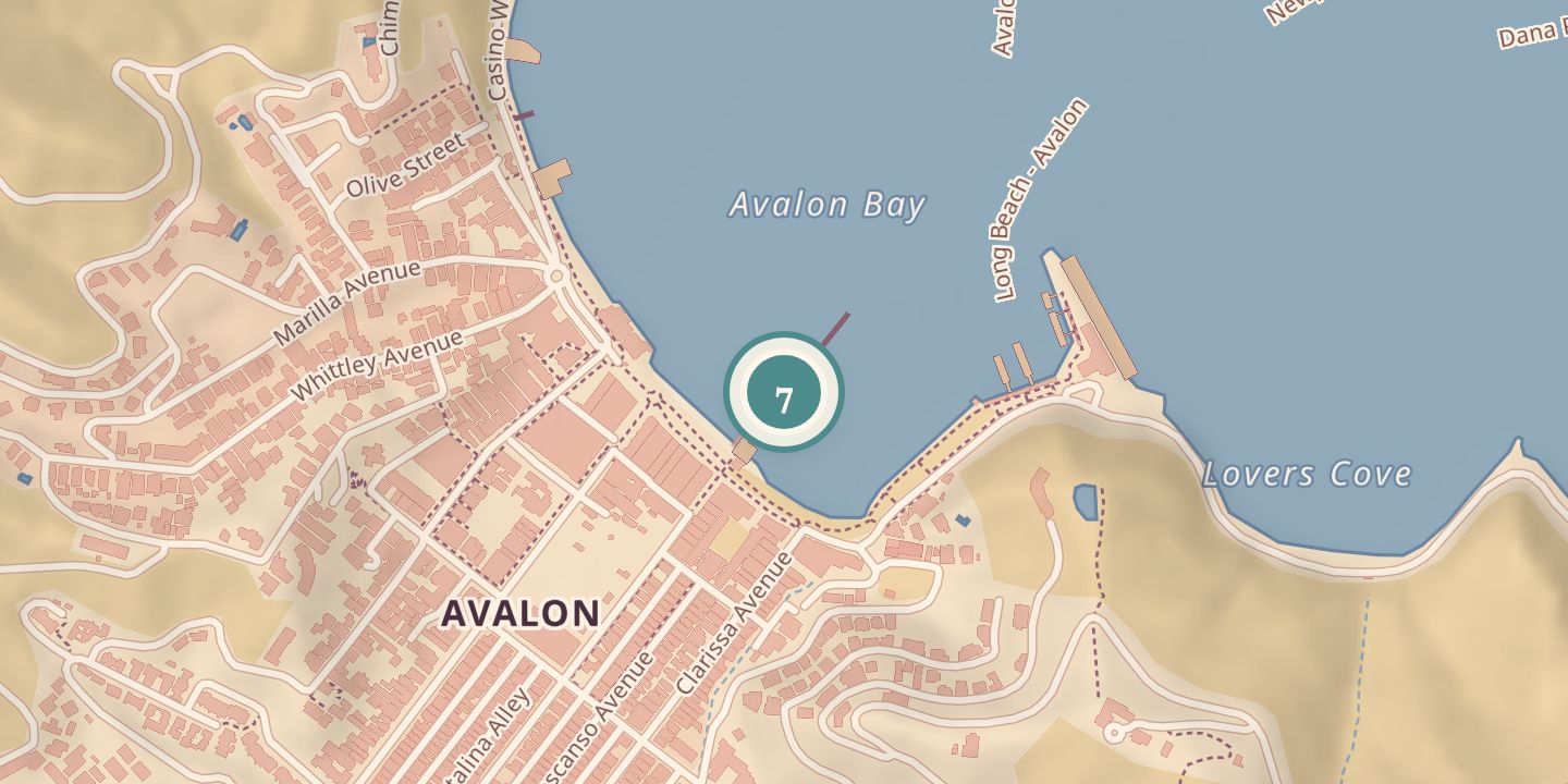
| Address | Mid-bay on Crescent Avenue, Avalon, Catalina Island, California |
| Location | 33.3440° N · 118.3247° W |
History
As sportfishing grew, boat stands crowded Avalon’s beach. The Banning brothers built a pier to ease the congestion, but a storm destroyed it in 1908; one history dates an earlier pier to 1906, while another dates the Steam Ship Pier to 1887.
In 1909, the Freeholders Improvement Association applied to build a pleasure wharf, and the pier was completed that year. One history credits the Banning brothers with its construction; another says the Santa Catalina Island Company built and maintained it. It provided independent boatmen and sightseeing excursions a place to land, set up stands, and offer services.
The City of Avalon purchased the pier in 1914, and it was officially named the Pleasure Pier in 1915. In the 1930s, Dorothy and Otis Shepard chose its distinctive green color. Today the 407-foot pier serves visitors and sport fishermen, and houses the island’s official sportfishing weigh station and visitor center.
Chronology
- 1906A pier was built to ease congestion at Avalon’s harbor beach.
- 1908A storm destroyed the earlier pier.
- 1909The new Pleasure Pier was completed after the Freeholders Improvement Association applied to build a wharf.
- 1914The City of Avalon purchased the pier.
- 1915The pier was officially named the Pleasure Pier.
- 1930sDorothy and Otis Shepard chose green for the pier.
Sources
Every source for this place is numbered on the Sources page, with original records listed first.