Nº 124 · Catalina Island place
Ribbon Beach
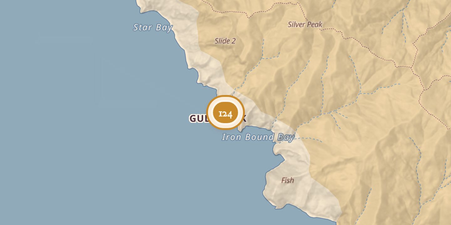
| Today | Accessible only by boat. |
|---|---|
| Location | 33.4498° N · 118.5795° W |
History
Ribbon Beach was on the south side of Santa Catalina Island, about two miles southwest of West End. It lay south of Starlight Beach and was described as less accessible. Gull Rock was offshore, with Spring Landing to the northwest and Iron Bound Bay to the southeast.
Sources
Every source for this place is numbered on the Sources page, with original records listed first.