Nº 125 · Catalina Island place
Ribbon Rock
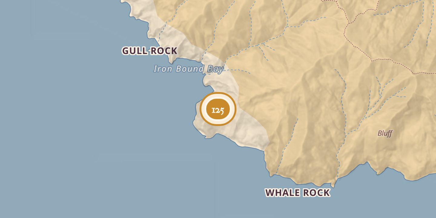
| Today | A 782-foot geologic uplift on Santa Catalina Island’s south shore, about three nautical miles from Land’s End. Its tilted, colorful rock layers include a quartz vein visible from many miles away. |
|---|---|
| Location | 33.4422° N · 118.5709° W |
History
Ribbon Rock was a geologic upthrust whose name came from its colorful, tilted bands of different rock types. A large quartz vein was visible from many miles away. In 1937, a proposed film stunt involving a dive from the rock was protested by a divers’ organization because the plunge was considered potentially fatal.
The vessel Bearkat foundered off Ribbon Rock on August 20, 1966. In 1978, divers Mary Pesci and Andrew Rich were found dead in 120 feet of water off the rock. In 1986, the cruiser Escapade caught fire in the area, was declared unsafe, and was allowed to sink.
Chronology
- July 6, 1937A proposed film dive from Ribbon Rock was protested as potentially fatal.
- August 20, 1966The vessel Bearkat foundered off Ribbon Rock.
- November 25, 1978Divers Mary Pesci and Andrew Rich were found dead in 120 feet of water off Ribbon Rock.
- May 18, 1986The cruiser Escapade caught fire off Ribbon Rock and was later allowed to sink.
Sources
Every source for this place is numbered on the Sources page, with original records listed first.