Nº 126 · Catalina Island place
Rippers Cove
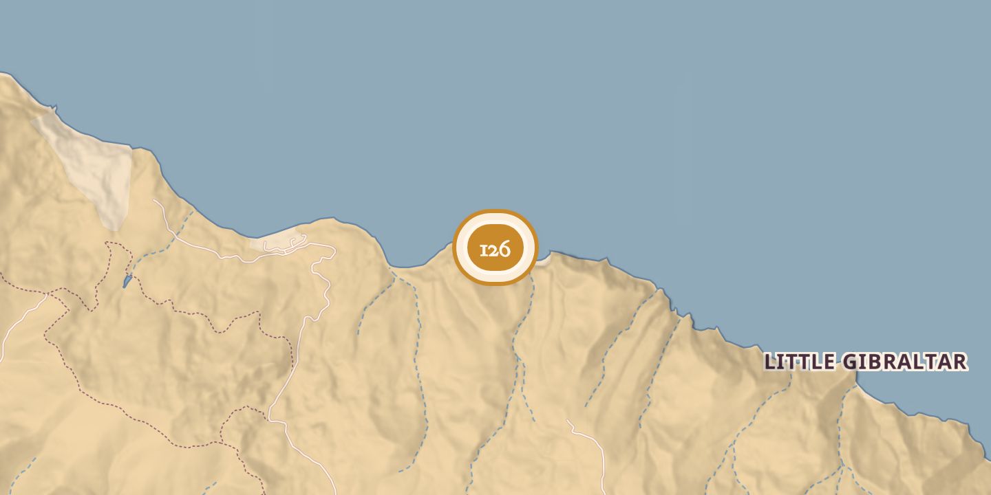
| Today | One of eleven primitive boat-in beach campsites on Santa Catalina Island’s lee shore. There are no moorings; anchorage is available for fewer than twelve boats. |
|---|---|
| Location | 33.4275° N · 118.4279° W |
History
The cove was formerly known as Empire Landing. It was renamed Rippers Cove after a nearby oceanfront residential area adopted the Empire Landing name; the protected cove was also described as a boat-in campground.
A January 27, 1980 news report said a plane crashed into the ocean near Rippers Landing. One passenger died and the pilot was injured.
Chronology
- 1980-01-27A news report described a plane crash near Rippers Landing in which a passenger died and the pilot was injured.
Sources
Every source for this place is numbered on the Sources page, with original records listed first.