Nº 127 · Site
Rock Spring Canyon
1893
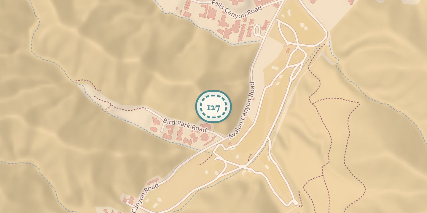
| Location | 33.3360° N · 118.3325° W (approximate) |
|---|
History
Rock Spring Canyon appeared as Rock Spring on an 1893 topographical map of Santa Catalina Island. It was described as the first canyon entering Avalon Valley on the right, beside the Golf Links.
A 1923 botanical description placed its approach along a branch road beside a level field, leading past the Gas Works to a gravelly arroyo and rock face. A stream trickled there in winter and early spring; a wet willow area above the rock face supported cardinal monkeyflower, and water in the left fork lasted through April.
Chronology
- 1893Shown as Rock Spring on a topographical map of Santa Catalina Island.
- 1923Described beside the Golf Links, with a seasonal stream and cardinal monkeyflower in a wet willow area.
Notes
- Pin marks the golf course area of Avalon Canyon.
Sources
Every source for this place is numbered on the Sources page, with original records listed first.