Nº 132 · Catalina Island place
Ship Rock
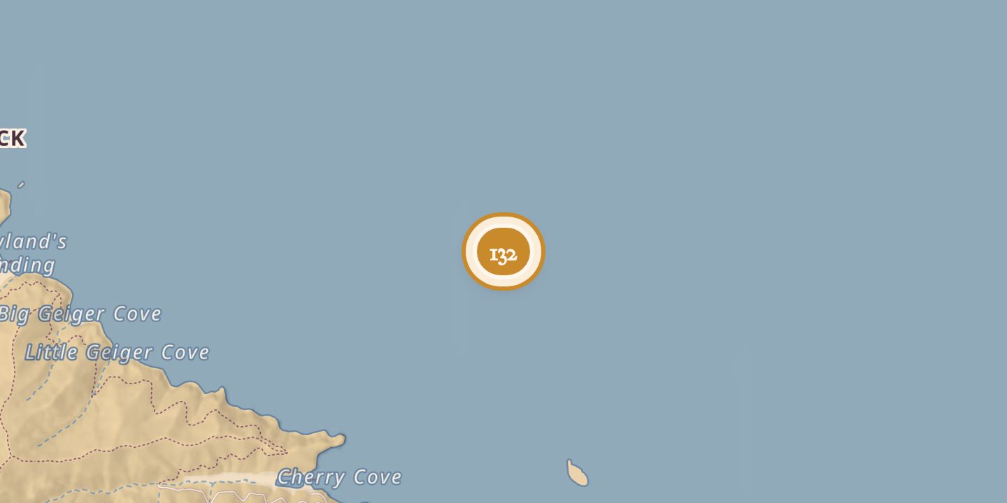
| Later | The site of the 1990 wreck of the schooner Diosa del Mar. |
|---|---|
| Today | A navigation beacon marked the rock, and remains of the schooner lay at snorkeling depths and below around it. |
| Location | 33.4625° N · 118.4918° W |
History
Ship Rock lay off the Isthmus on Santa Catalina Island. A 1918 account said its name came from its resemblance to a ship under full sail; a 1923 description called it 66 feet high and without vegetation.
On July 30, 1990, the 1898 schooner Diosa del Mar struck a reef near Ship Rock during a race and sank. Its captain and 12 passengers were rescued unharmed. The wreck’s remains lay around the rock at snorkeling depths and below.
Chronology
- 1923A description gave the rock’s height as 66 feet and said it had no vegetation.
- July 30, 1990The schooner Diosa del Mar struck a reef near Ship Rock and sank; all 13 aboard were rescued.
Sources
Every source for this place is numbered on the Sources page, with original records listed first.