Nº 134 · Catalina Island place
Silver Peak
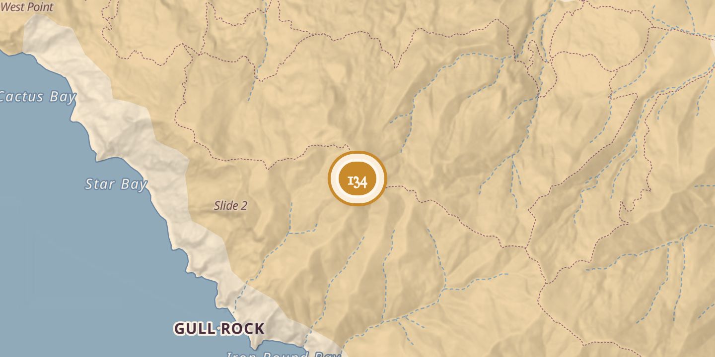
| Today | Silver Peak is wholly owned by the Catalina Island Conservancy. Hiking routes from Two Harbors reach its summit. |
|---|---|
| Location | 33.4599° N · 118.5686° W |
History
Silver Peak, also called Silver Hill, rises to 1,804 feet and lies midway between Parson’s Landing and Iron Bound Cove. It is the highest point on Catalina Island west of the Two Harbors Isthmus and is probably named for galena, a lead ore containing silver, discovered in the area.
On February 18, 1969, a Navy aircraft struck the fog-shrouded peak, killing five airmen. A fatal Cessna crash occurred on Silver Peak’s east side on September 30, 1998. The summit is reached by hiking routes from Two Harbors.
Chronology
- 1969On February 18, a Navy aircraft struck Silver Peak, killing five airmen.
- 1998On September 30, a Cessna crashed on Silver Peak’s east side, killing its pilot.
Sources
Every source for this place is numbered on the Sources page, with original records listed first.